Welcome
fellow Farts to The Goldcrest Walk!
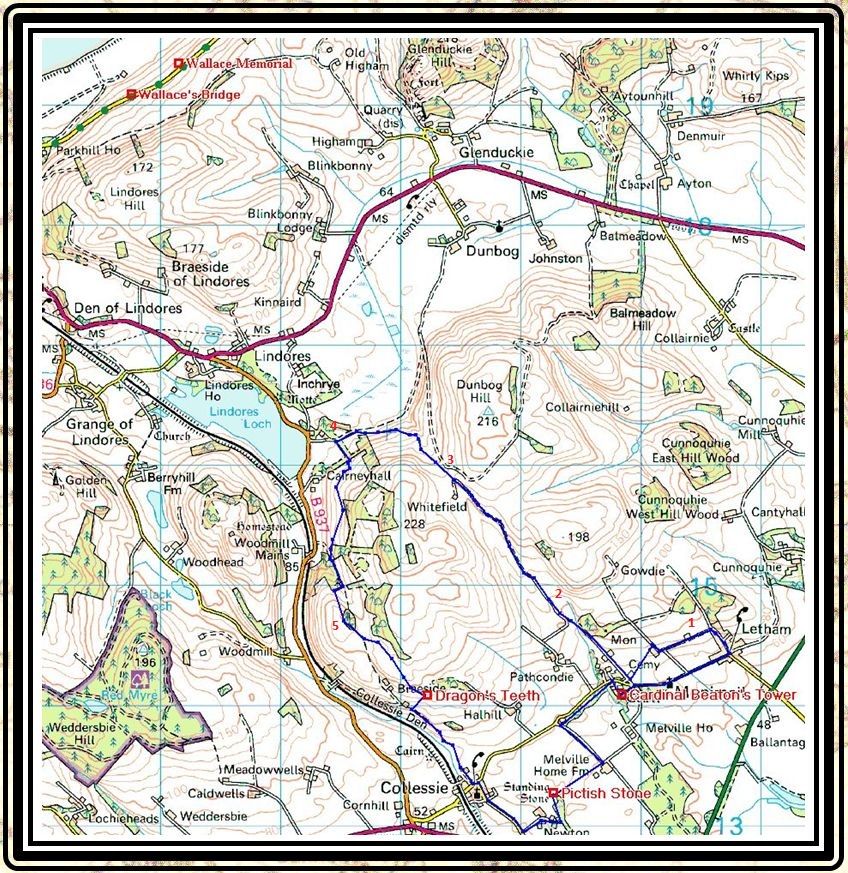
Monimail, Collessie and Letham
(For convenience, Click Map to open in
separate Window)
|
|
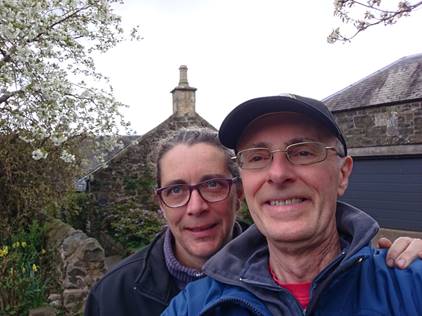
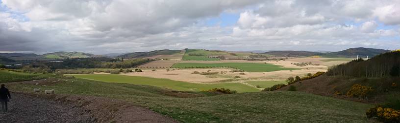
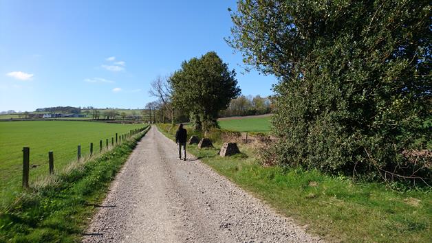
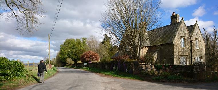
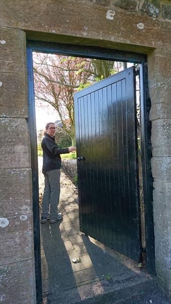
So, here
we are about to set off on our walk. A leisurely 8-miles with 800ft of
ascent. We are enjoying a fabulous spring, and today we have mixed sun and
clouds, and very mild temperatures. |
|
|
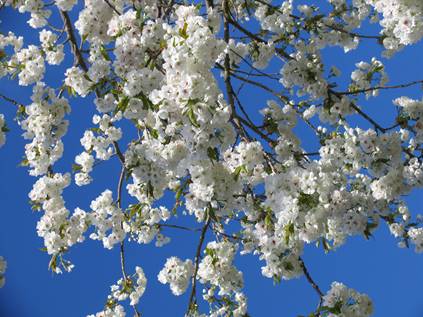
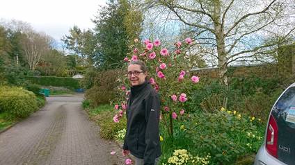
On our
drive we have this magnificent flowering cherry |
|
|
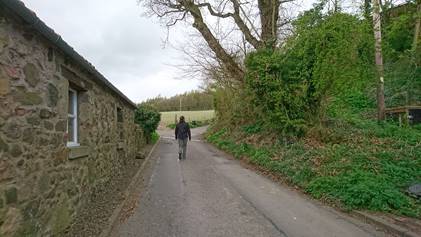
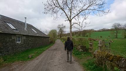
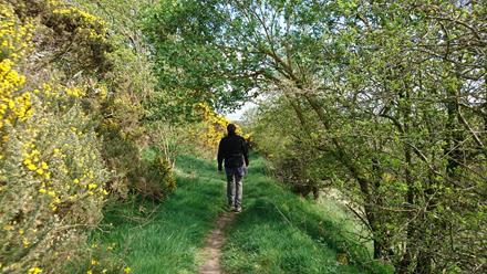
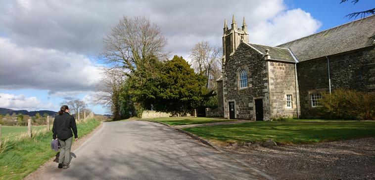
Down the
drive we share with Molly and Don, our route is to the left and further
uphill. Within 100ft or so we leave tarmac. |
|
|
Tarmac
becomes unleaded tracks about 50ft ahead of Julie, at which point we turn
left and head towards the west. |
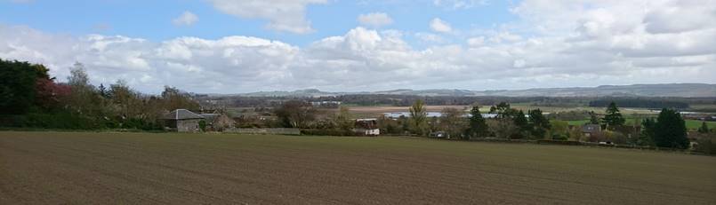
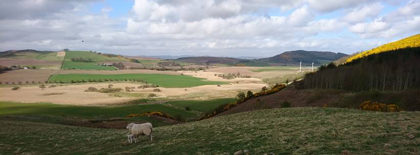
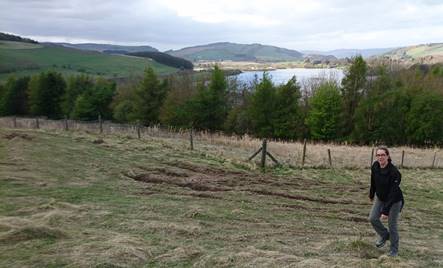
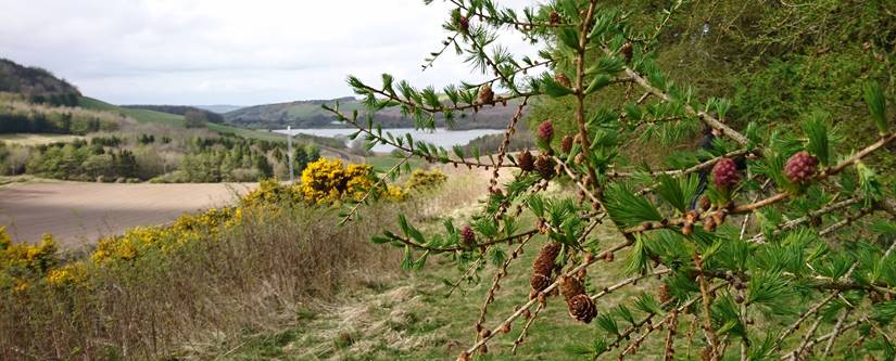
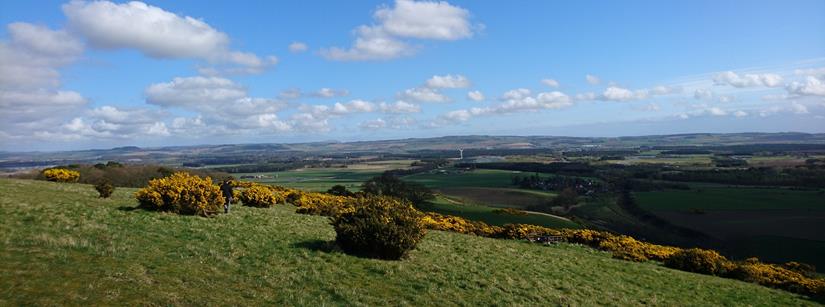
(Point-1) Looking southeast towards
Letham. The village occupies high ground well above the 'bog' one-quarter mile
away and 130ft lower.
60-years ago the pond, centre-right in the
photo, was drained. 10-years ago the ponds were allowed to return: a return to
pondness is most welcome!
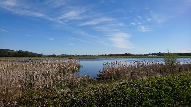
Not strictly on our walk, but this is
Letham's east-pond - the water that can just be seen in the earlier photo.
Popular with twitchers, Letham's two
ponds support large numbers of birds: swan, lapwing, curlew, moorhen and many
others.
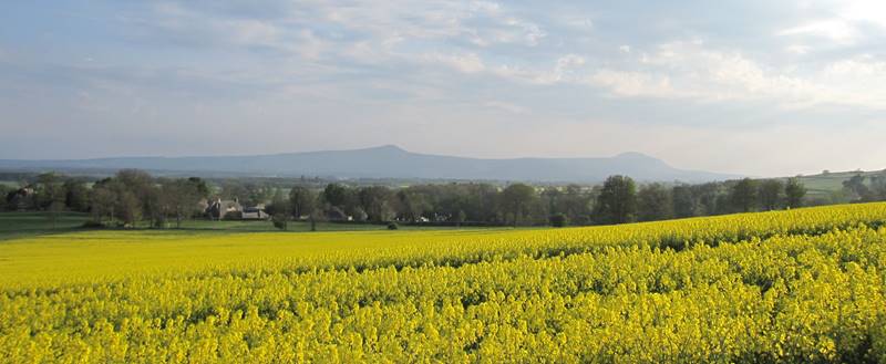
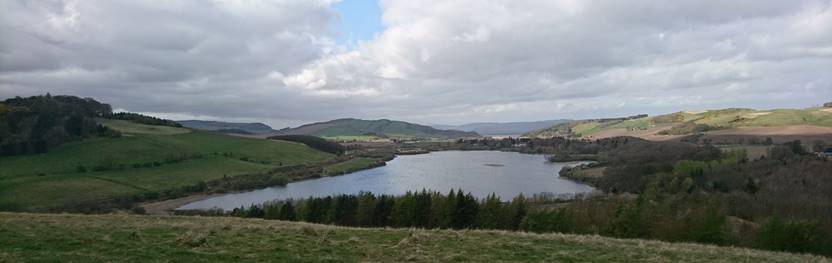
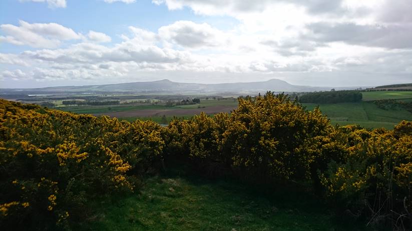
(Point-1) The Lomond Hills: a backdrop
for the Howe of Fife which, in prehistory, was a large glacial lake covering
most of central Fife.
The last vestige of the post-glacial
lake was drained between 1740 and 1806: Rossie Loch was ~1/3 the size of Loch
Leven, and would have been visible from this vantage point.
|
|
(Between
1-2) At Monimail we join an ancient track and head north-west. Navigation
through a wet landscape was never easy, and the routes found by early
settlers have remained in use until the present day. This track, from
Monimail to Dunbog, is the route taken by William Wallace in 1298 when he led
a force to repulse an invading army on the River Tay. |
|
|
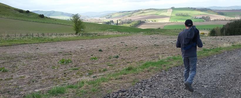
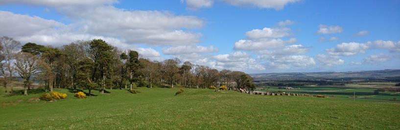
(Point-2)
We quickly enter a rural idyll. |
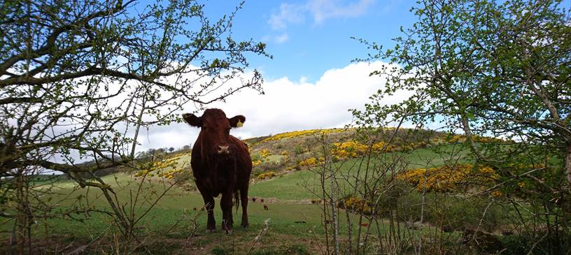
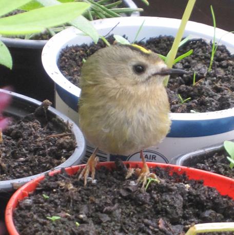
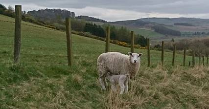
We pass local friendly faces.
|
|
Unfortunately
you can't smell the rich aroma of coconut emanating from this gorse bush, but
believe me it was hard to leave it! Immediately
after this photo a deer shot across the track between two stands of trees.
Roe deer are common hereabouts, but they are very shy and rarely do you see more
than a bobbing white rump heading off into the trees. |
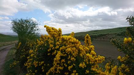
Julie did finally manage to prise me
away from my olfactory joy and back to visual experience.
|
|
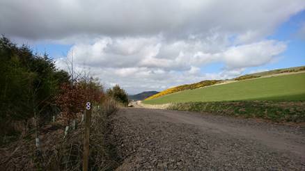
(Point-3)
Dilliecary Knowe: the ancient track continues north, but our route is to turn
left and head more to the west. Wallace and his army continued on to Dunbog
and then, keeping his feet dry, via Higham and engagement with the army of
The Earl of Pembroke. However,
some 3-years after Wallace's march, this was the location of an ambush: Scots
led by the 'Battling Bishop' (more on him later) trounced the English forces. |
|
|
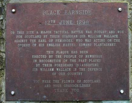
There are
still references to William Wallace in northern Fife. As well as this
commemorative plaque there are map references to Wallace's bridge, Wallace's
camp, as well as the battle site itself. The Battle of Black Earnside, only
9-months after the major victory at Stirling Bridge, was the last successful
engagement led by Wallace. One month later, in July 1298, Wallace was
defeated at the Battle of Falkirk. |
(Between 3-4) In the foreground there used to be a
loch, a sister to Lindores Loch, drained centuries ago by the monks of Lindores
Abbey.
Lindores Loch can just be seen on the
far left of this photo.
Most of what used to be loch is still
used to grow crops, but there is a large area of marshland that is just too
wet. This remote area is a good place to spot raptors.
Wallace and his army marched behind the
stand of trees on the right, past the two wind-turbines, and then over the high
ground of Higham in the centre of this photo.
What would William Wallace have made of
wind-turbines??
|
|
|
|
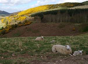
Primarily sheep farming in the rolling
hillside
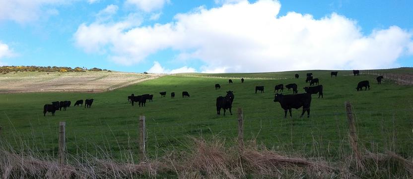
But Aberdeen Angus can also to be found.
|
|
(Point-4)
After half-a-mile we again turn left and start to climb though a small wood.
The trees here were full of songbirds. We saw a small flock of bullfinch
harvesting the new buds on the trees. |
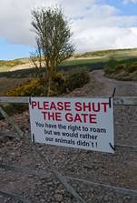
Were you not to turn left, in the
earlier photo, but rather continue downhill, you would experience a little
local humour
|
|
(Between
4-5) Our route leaves unleaded tracks and climbs gradually over open fell
side. |
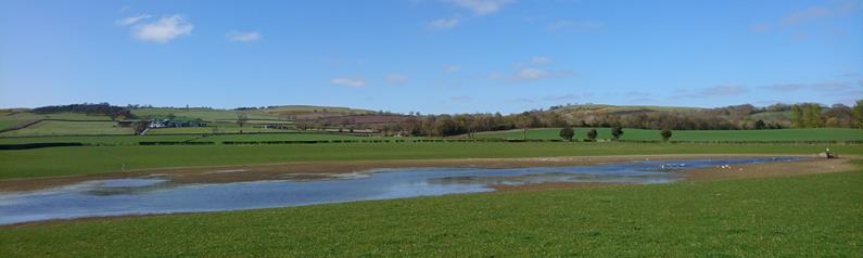
Lindores Loch: only 2m deep on average,
and at its deepest only 4m.
The loch is used for fishing and, when
possible, curling.
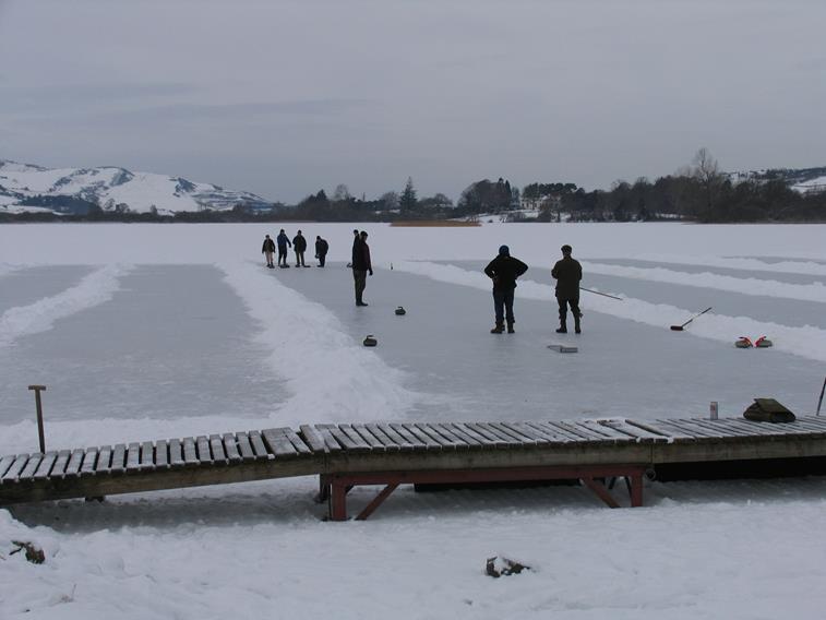
Boxing Day 2010: the last occasion
Lindores ice allowed curling.
|
|
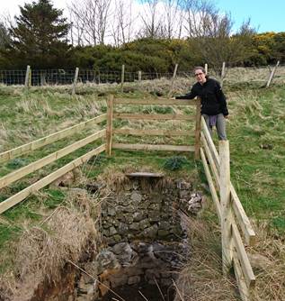
An
exposed, presumably rather old, well on the hillside. Neither Julie nor I
remember this being exposed last time we did the walk, and given the
fresh-looking timber barricade may well have been a recent archaeological
dig?? |
Looking north but heading south from
Lindores Loch we start to climb to our highest point of the walk.
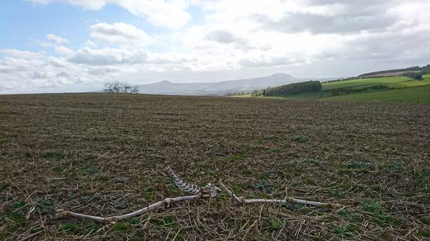
The remains of one roe deer that lost
the fight: not much remains of these remains!
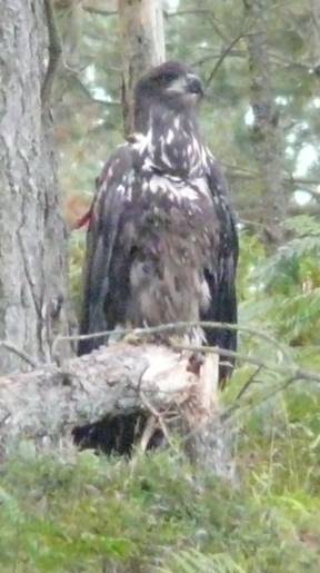
On the horizon to the right in this
photo is Pitmedden Forest: a few years ago it was a 'secret location in Fife'
where White-Tail Eagles were reintroduced to east Scotland.
|
|
August
2011. Luckily
for us the release site was on one of our regular mountain-biking routes.
Binocular views were good, but getting decent photos with normal cameras was
a challenge. This is the best photo we managed: this is a still a youngster,
but one possessing an 8ft wingspan! |
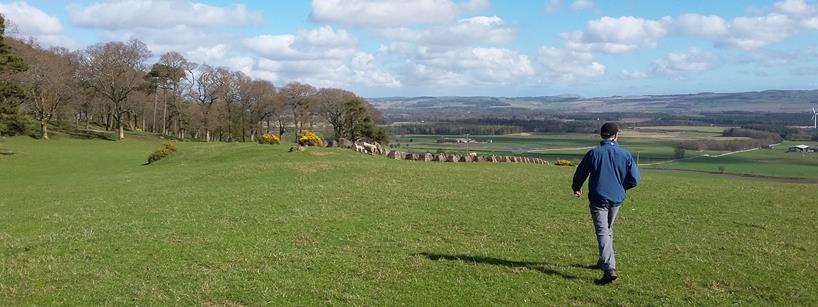
(Point-5) The highest point of our walk
(Halhill), which we attained without oxygen bottles![]()
We descend Halhill to the south on route
to the Den of Collessie.
Before entering the den, we take a
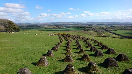
saunter off-track to see a little bit of history.
The Dragon's Teeth.
|
|
Part of
The Scottish Command Line, a defensive system built during WW2. It was part
of a huge defensive boundary that cut through Fife north-south.
Click
Morph, he knows more! |
|
|
The Den of
Collessie. A den is a valley that has been cut by glaciation rather than
water. Often dens have no standing water at all, but Collessie has a small
loch. The wildlife is fabulous in this den: birds and insects abound. |
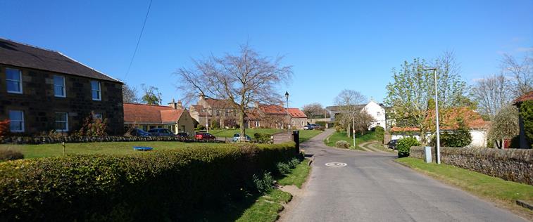
We arrive at the village of Collessie: a
favourite stopover for James V when on hunting parties.
Historic occupation of Collessie goes
back to the Bronze Age.
Leaving Collessie village on route to
another piece of history
We pass through Collessie and on to one
of the earliest manmade objects in the area.
|
|
|
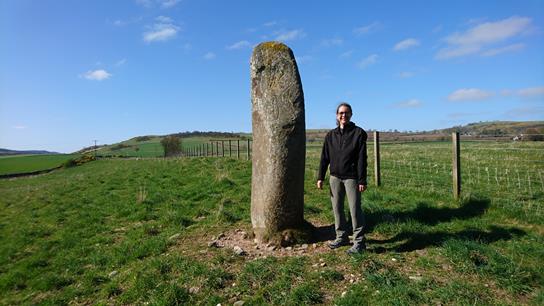
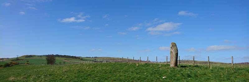
Collessie has traces of occupation from
as early as the Bronze Age.
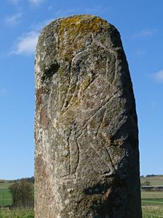
This Pictish stone was unearthed in
1925, and believed to have been moved to its present position by farmers.
Geophysical information of the adjacent
field reveals Bronze Age farming activity.
Water is never far beneath your feet:
Howe of Fife's ancient glacial lake is just below the surface
|
|
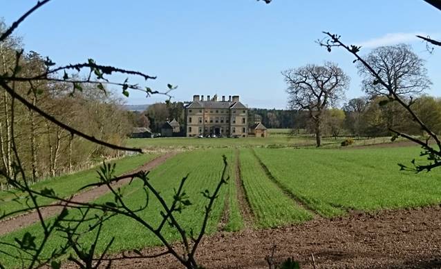
The estate
of Melville House is much run-down. Completed in 1703, Melville House in its
heyday was referred to as the most important Renaissance building in Scotland
after Holyrood. During WW2
the house and grounds were commandeered to both train a guerrilla army and
act as local command and control. Since 1950
the house has been, variously, a private school, a council borstal and is
currently a private house. |
|
|
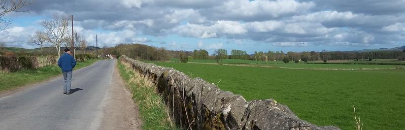
As we make
our way out of the estate grounds we pass more relics of WW2. These are the
last remaining 'teeth' in the Melville estate. And on the horizon towards the
left of the photo, a stand of trees is the location of the Dragon's Teeth. |
|
|
|
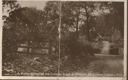
Whinny Park Now and Then: 2020 and 1917,
on the Collessie to Letham road.
Whinny Park,
location of a most heinous murder, one of only two (detected) murders in
Monimail and Letham: at 10am on 26 June 1830 a John Henderson, of no fixed
abode, brutally murdered James Millie, owner of Whinny Park, who had taken pity
on the plight of Henderson only days earlier. After some time the absence of
Millie was noticed by the residents of Monimail and Letham, as was the free and
easy spending by Henderson. Henderson had tried to bury the body of Millie, but
quickly came to the same problem experienced by the builders of the Collessie
to Letham road; there is a very large plug of whinstone topped with shallow
soil. The road builders navigated the road around it, and the stone made
excellent foundations for a cottage and the cottage's name was then obvious!
Henderson was publicly executed in Cupar at 2pm 30 September 1830.
And the other murder, you ask? Well that
was much more recent: 3 November 1994. George Tolmie killed Danny Hallet in a
dispute over money
Click Morph, he knows!
|
|
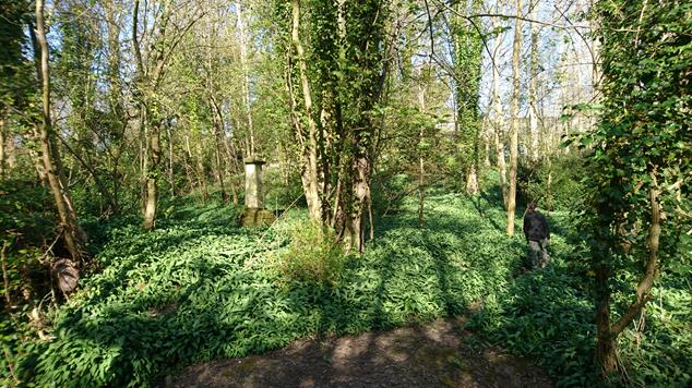
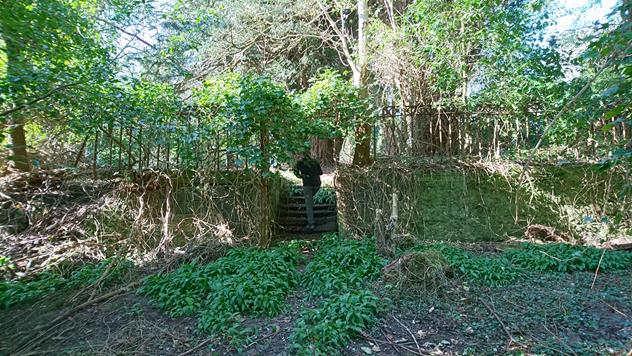
Small
woodland to the north-west of Melville House used to provide the estate
boundary. In recent times a charity, the Monimail Tower Project supports a
small 'alternative' community. The woodland and tower are maintained by the
community. |
|
|
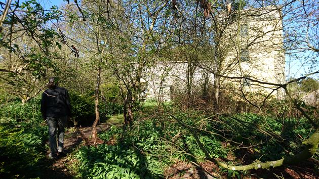
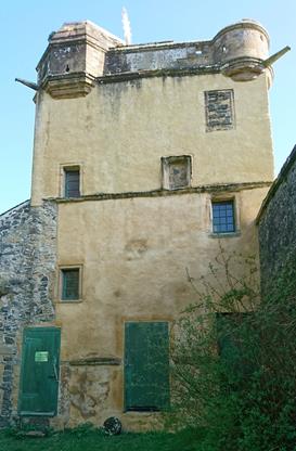
From a
time 400-years before Melville House, this land was owned by the See of St
Andrews, and from around 1300 a palace was for several centuries home of the
Bishops. The first resident was Bishop William Lamberton, the 'Battling
Bishop', who regularly wore armour under his cassock. Cardinal
David Beaton, Archbishop of St Andrews, lived here in the 16th
Century. His 'claim to fame' is that he ordered George Wishart,
a protestant, burned at the stake for heresy. Two months later Beaton was
murdered and his mutilated body hung near the site where Wishart
was executed. |
|
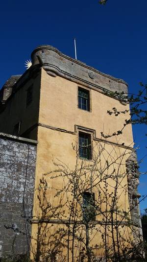
Of the palace only the tower remains and
this was restored in 1987. |
|
|
|
|
|
|
|
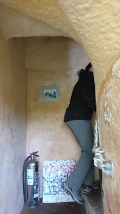
We ascend the very narrow staircase in
the tower
|
|
|
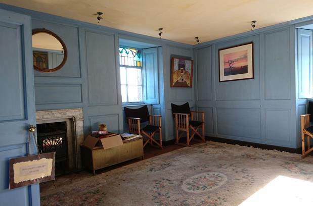
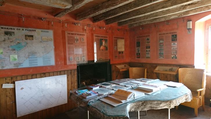
The tower has two furnished rooms: on
the left is a meditation room and the right is the library and museum of the
tower
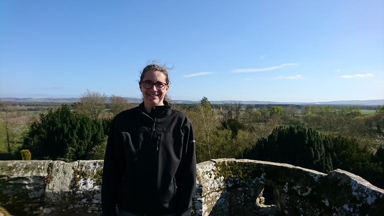
Good views of the Howe of Fife are to be
had from the top
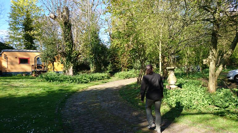
We continue through the community
grounds
We exit the community at Melville House
North Lodge and head towards Letham
Heading east we pass Monimail parish
church
Finally we enter Letham Village at the
Well Tree: location of the village well.
|
|
As with
almost all communities throughout the UK, Letham had men fight in the Great
War. One such soldier, on leave during the war, hammered a .303 shell onto
the railings at The Well Tree. |
|
|
|
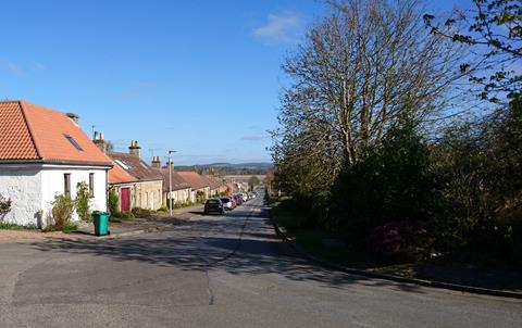
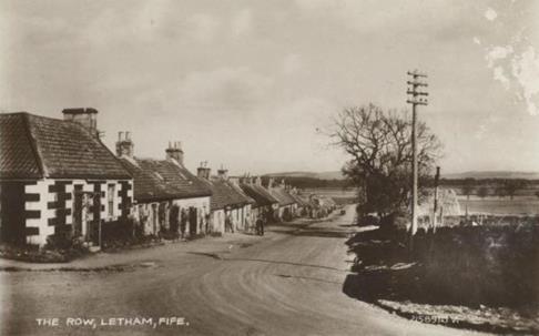
The New Row Now and Then: 2020 and 1918
from approximately the same location
The New Row replaced the old Row in
1800. Even after 200+ years the cottages are still referred to as 'New'!
Up School Brae and past another little
bit of history:
|
|
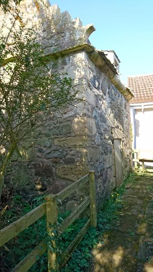
Letham has
three doocots (dovecotes) dating back many hundreds of years. All three are
listed structures. This is Letham doocot almost directly opposite our
cottage, it was restored several years ago, and is the most complete of the
three structures. |
|
|
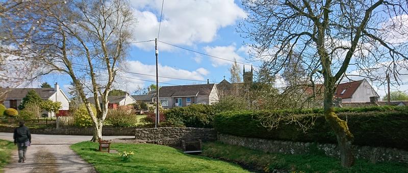
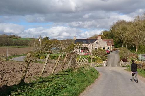
And
finally home! We hope
you have enjoyed our Lock-Down walk. And we hope that we'll all soon be able
to do these things again for real. Keep well,
and hope to see you soon! Julie and
Lance |
We are much indebted to Donald Dallas, a long-time
resident and historian of Letham village. He has written several books, most
recently "Letham: The History" and has recorded a series of lectures
available on YouTube, see below. The one-hour and ten-minute lecture was
recorded at Letham Village Hall, with most of the village in attendance. On
YouTube the lecture is presented as four 17-minutes long episodes, we don't
know why??
First Part
Second Part
Third Part
Fourth Part