|
Cycling the Borders of Scotland 2009 Route difficulty calculated using cycalc
The map can be panned and zoomed
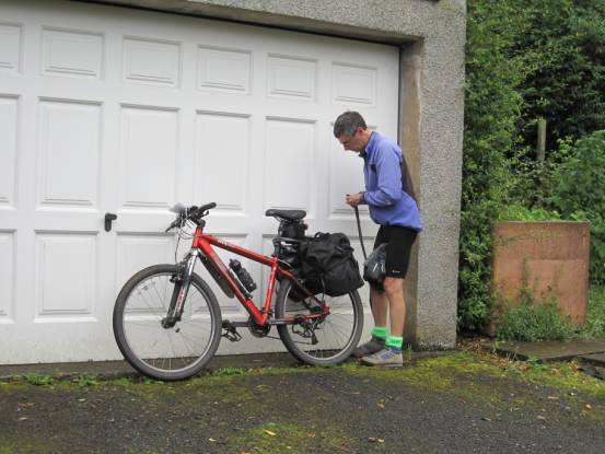
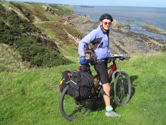
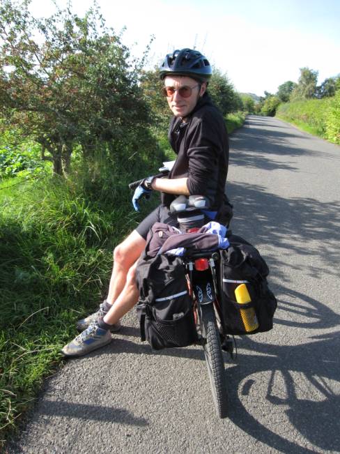
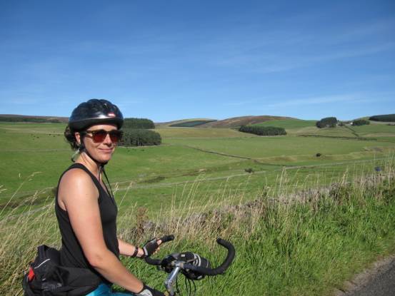
Getting ready for the off. Thanks to
Sue and Dave we were able to leave our car at their home and start our
holiday: 240-mile circuit through the Scottish Borders from Edinburgh.
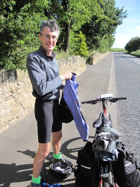
The temperature quickly began to rise, and it was a beautiful
sunny day. Day one was a reasonable 44-miles with
2250ft ascent, grade hard-C, from Edinburgh to East Linton.
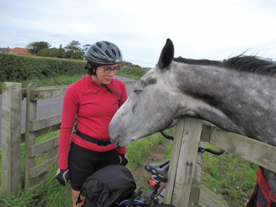
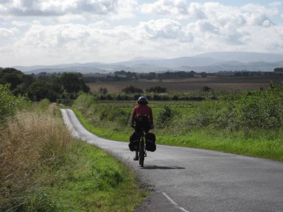
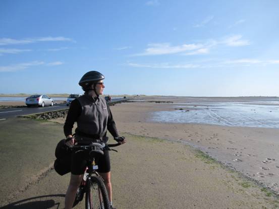
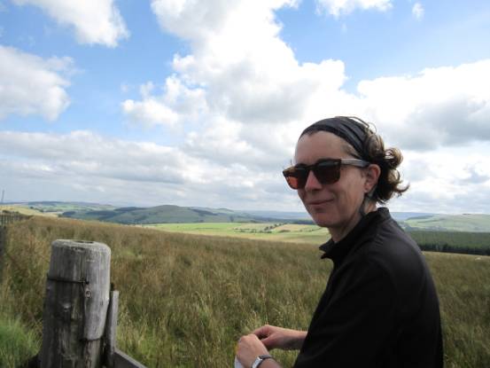
Julie is a sucker for cute animals The route from Edinburgh to East Linton is largely on marked
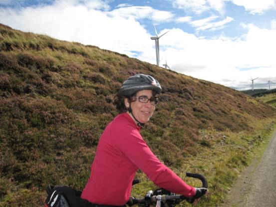
cycle routes – a lot of which is old railway, and therefore reasonably level. Day 2 began windy and got worse as we cycled. The day’s ride was
intended to be reasonably challenging, south through the Lammeruir
Hills, but we didn’t expect gale force winds in our faces!
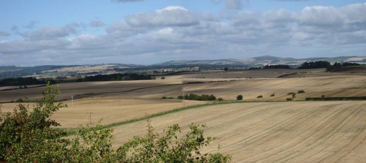
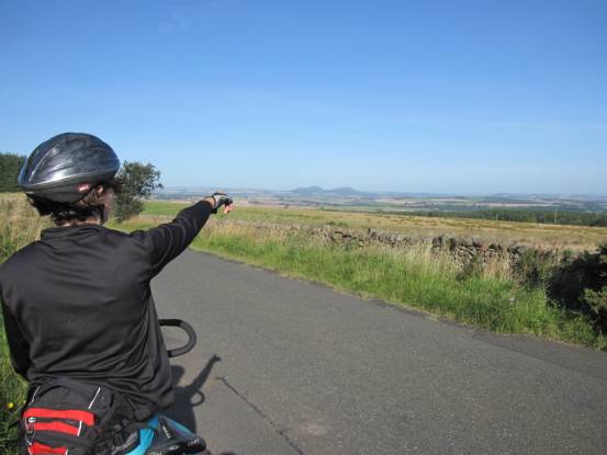
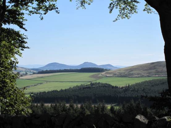
We were treated to some nice views, in spite of the wind.
We cycled past a couple of well-active wind farms. The wind had
blown almost continuously into our faces, and it was with considerable effort
that we pushed uphill and into the wind (click video on the right). Even
after we had reached the top of this hill (the highest of the day) we had to
push ourselves downhill to make progress!
After 34-miles with 3560ft ascent, grade average-D(73W) without the wind: into a head wind the whole way we
were rather tired!
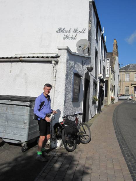
We spent the night at the Black Bull Hotel in Duns, and the
following day’s weather was great. This was our easiest cycling day: down the
coast to Lindisfarne 35-miles grade average-B
What a difference a day makes
Our first view of the Cheviot Hills
Looking back towards the Lammeruir
Hills
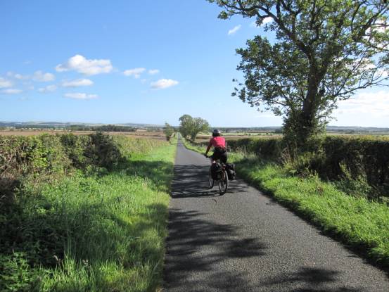
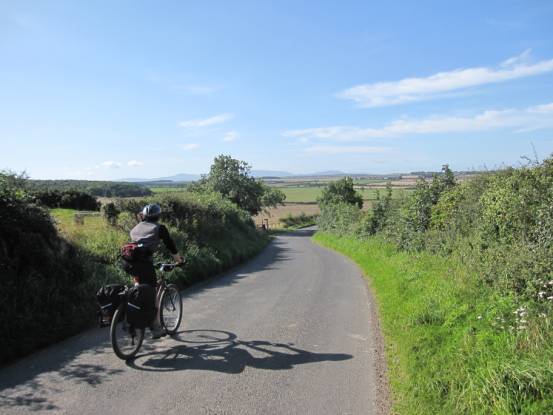
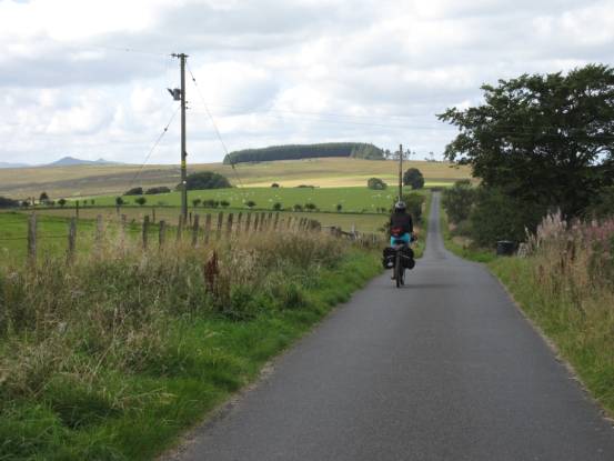
The Scottish Borders is a great place for a cycling holiday:
long quite roads.
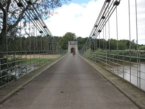
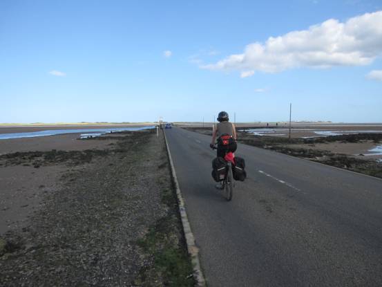
Crossing the Union Bridge from Scotland into England
And down the coast towards Holy Island
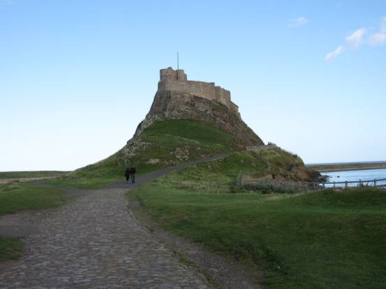
Across the causeway to Lindisfarne (Holy Island)
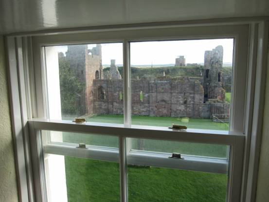
Lindisfarne Castle
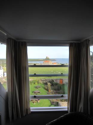
We
stayed at The Manor House, with great views
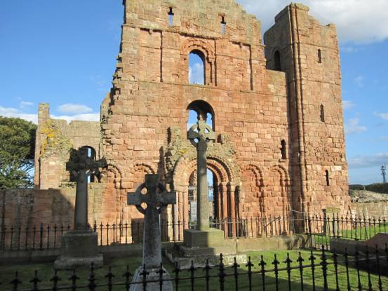
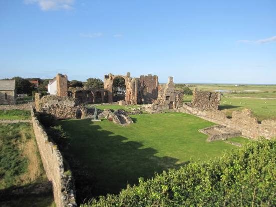
Lindisfarne
Priory… Lindisfarne (aka Holy Island) is isolated from the mainland
twice per day by the tides. During low tide the island is packed with
tourists. When the causeway is closed, however, the island is beautifully
peaceful and quite.
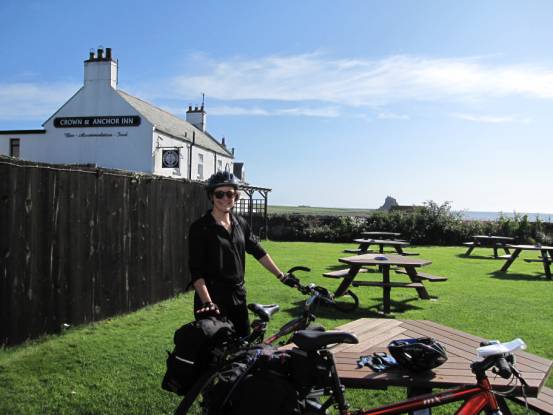
Next day was another great weather day. We had timed the visit
to Lindisfarne to give us ideal crossing times: the causeway was clear of water
at 10.00am; a perfect time to start cycling
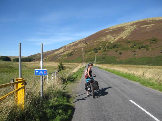
Back over the causeway, on route for Jedburgh: 42-miles and
2850ft ascent, grade average-D.
Back towards the Cheviot Hills
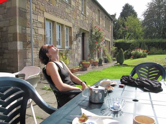
And there’s always time for tea and scones, as here in the
beautiful Northumberland village of Ford
Back into Scotland
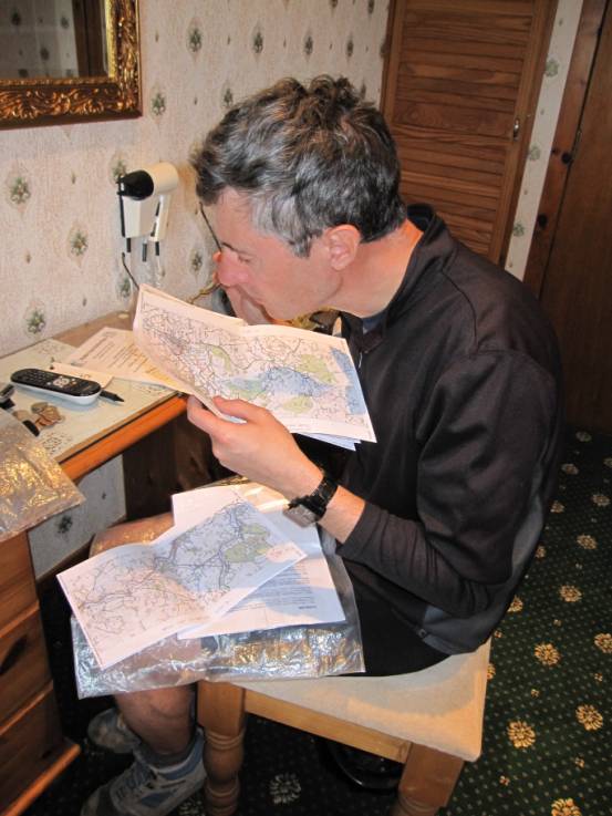
And finally our B&B night in Jedburgh, and a peruse of tomorrows
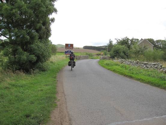
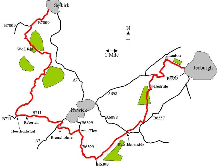
adventure The next day, Friday 11 September, was to be one of the hardest
days: 41-miles with 3970ft ascent, grade Ex3(70W),
from Jedburgh to Selkirk. The route looked good on the map, and as it turned
out was a really good ride: very varied and full of interest.
It was an Indian summer; great conditions for cycling. And an
interesting, varied, route
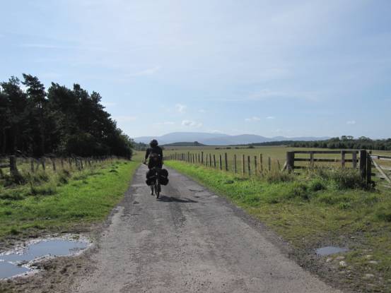
The Eildon Hills. Most of the route afforded memorable views
Deserted roads lead for great cycling
A very enjoyable day We spent the night at The Glen Hotel, Selkirk. The following day
(our last cycling day) continued with good weather to complete our 240-Miles
circuit of the Scottish Borders.
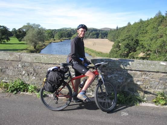
Back over the River Tweed, we headed generally north towards
Edinburgh 43-mile with 2985ft ascent, grade hard-D
Through more lovely Borders countryside
Those Eildon Hills again
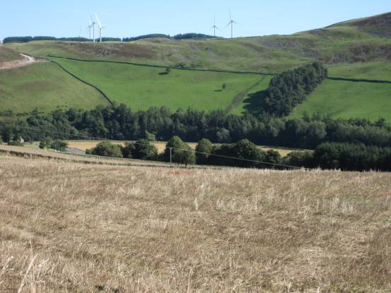
We don’t think that wind-farms detract from the beauty of the
countryside
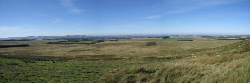
The last major climb of the holiday takes us over the Moorfoot
Hills
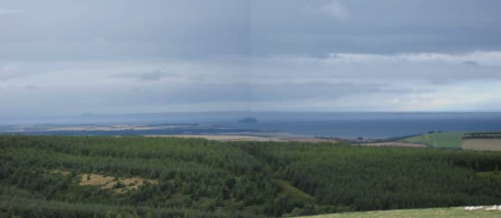
And on the north side of the escarpment our destination comes into
view: the Pentland Hills, the Firth of Forth and
Edinburgh After last years cycling holiday of
almost continuous rain, this year proved to be one of the best weather
cycling holidays we have ever had! And we will never grow bored of the
Scottish Borders! Back
to the Top
|