|
Cycling the Moors and Dales of Yorkshire, September 2011: AKA
surviving Hurricane Katia Route difficulty calculated using cycalc
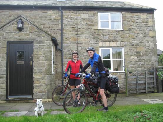
We started our holiday at a friend of
ours, Alasdair, who lives near Prudhoe Day-1 was from High Mickley to Haswell Plough, passing through Durham on
route. An easy day of 30-miles with 2130ft ascent, grade average-B
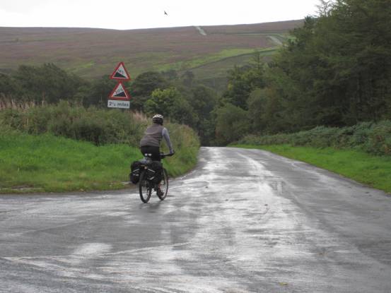
It was a nice day, by and large, but
we knew it was the calm before the storm
Even though this was an easy day, I
found it hard-going having not been able to train since my surgery.
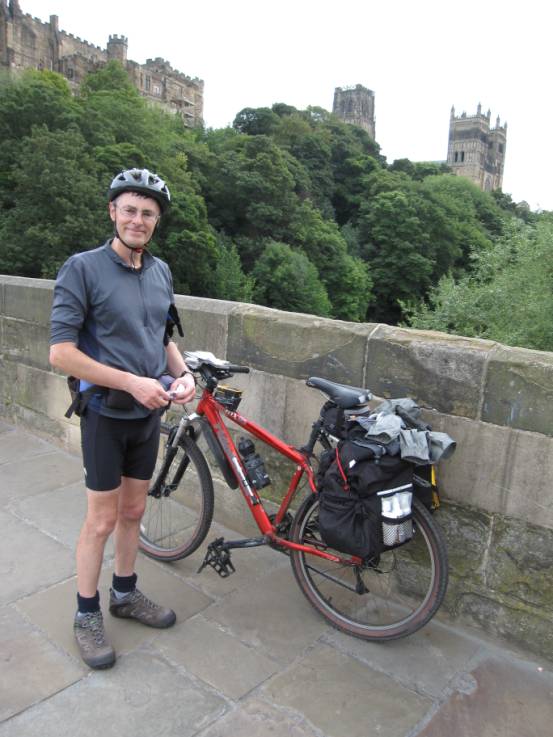
Through Durham, past the castle and
cathedral
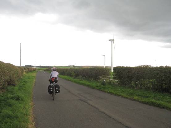
Wind-farms are springing-up
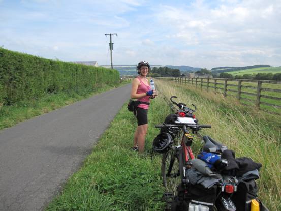
everywhere (they would be pumping out the power in a couple of days!) After our night at The Gables Inn,
Haswell Plough, we set off the next day on route for Great Ayton in North
Yorkshire. This day was 40-miles with 2110ft
ascent, grade mild-C, and although we were largely heading south, the wind
had not yet started to impede our progress
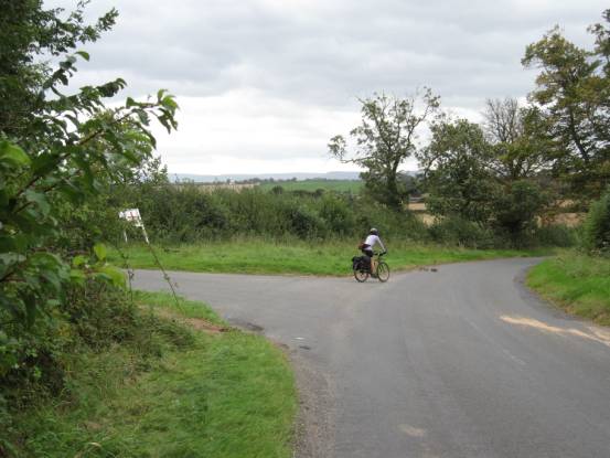
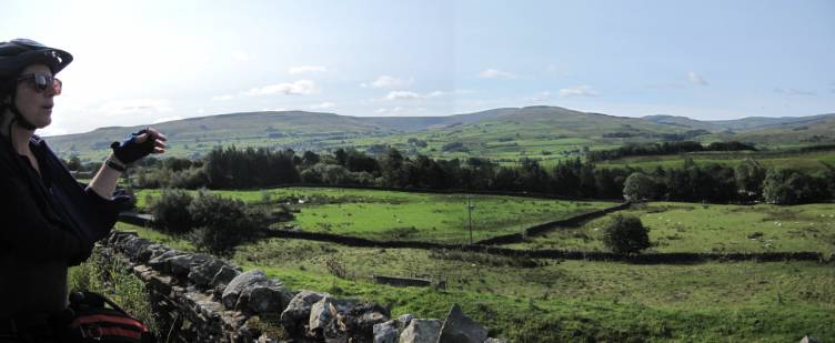
Once we were well away from Durham,
the roads became peaceful
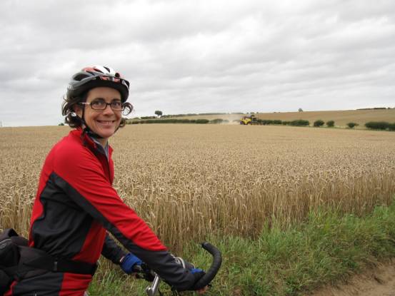
Harvesting was well underway
It was a very tiring day for me, but
tomorrow (Monday) was set to be a BIG challenge! We stayed Sunday night at The Royal Oak in Great Ayton: we
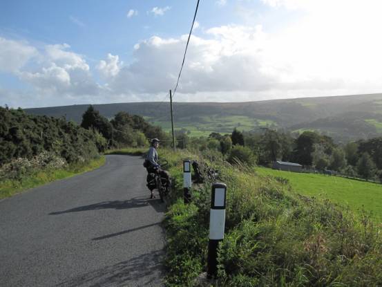
can recommend this inn for friendliness and food! Day-3 we cycled from Great Ayton with
the intention of heading south over the high North Yorkshire Moors to Ampleforth. We didn’t manage it: after 10-miles heading
east, largely sheltered from the worst of the wind, we turned south directly
into the teeth of hurricane Katia. And I got blew off my bike! It was time
for prudence to dictate the day
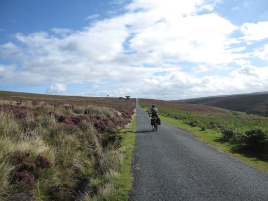
It was the start of some proper
hills, and hillsides covered in heather
We were still heading east, and still
climbing, with the wind partly behind us
Higher and higher, but still largely
sheltered
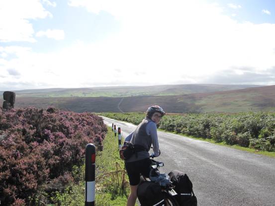
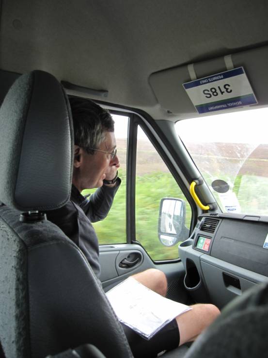
Our route turned due south at
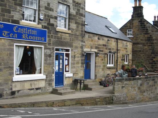
Castleton, and we were exposed to the full force of hurricane Katia. Probably
blowing at around 40MPH, it was impossible for us to cycle further! The staff
at the Castleton
Tea Rooms kindly arranged for our transport to Ampleforth.
It was a great relief to have a means
of continuing our holiday. Forty-minutes in the minibus brought us to Shallowdale House, our accommodation for the night. Shallowdale House is a gem of
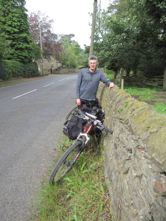
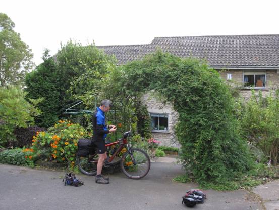
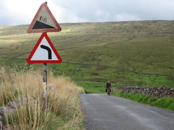
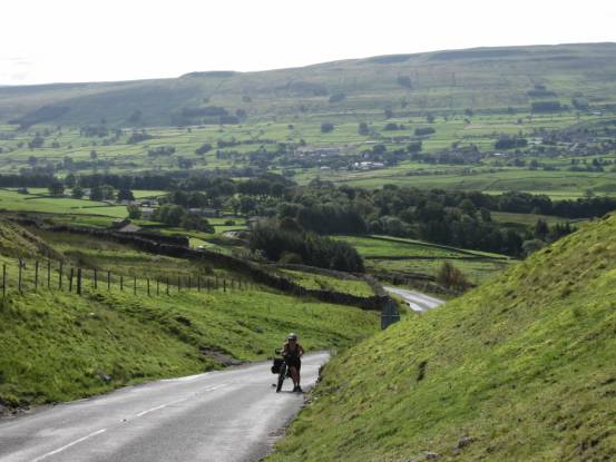
a small hotel – absolutely recommended by us! Reluctantly we had to leave Shallowdale House and head-off due west to Pateley Bridge: 39-miles with 2450ft ascent, grade
average-C in calm conditions. This turned out to be one of the hardest
cycling days we have ever had, and in retrospect it became graded as, at
least, middling Extreme. If pushing into a ~15MPH headwind was not enough, we
were forced to cycle a further 2-miles due to a diversion past the road works
at the A1!
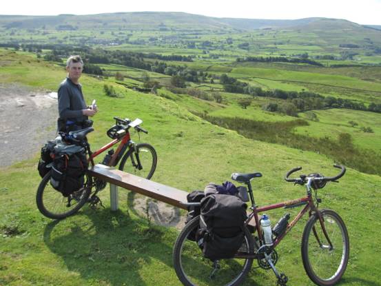
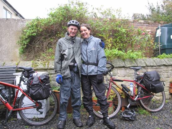
Packing our panniers at Shallowdale House. It
would take 7-hours of hard cycling to reach our hotel at Pateley
Bridge!
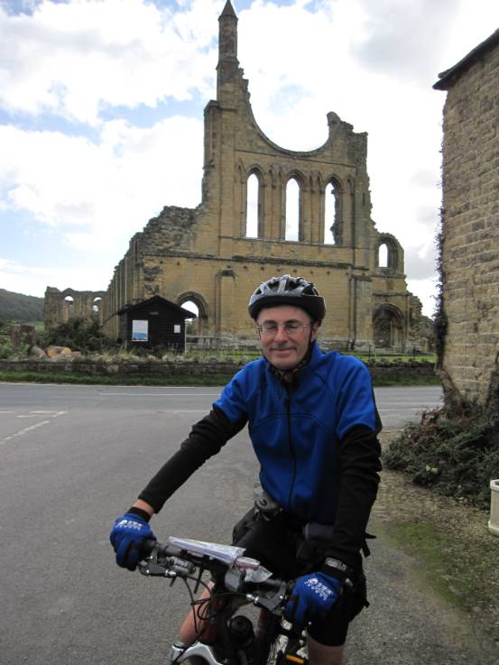
It was nice to get the occasional respite from the wind, as here at Byland Abbey
Not much remains of the abbey since
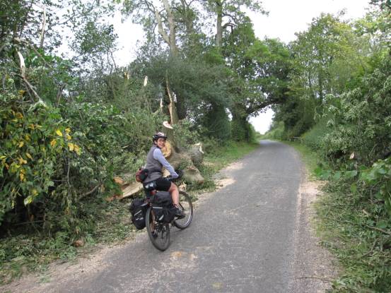
the Reformation
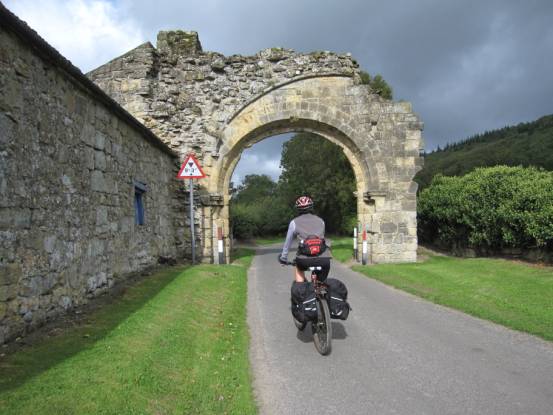
We cycled past several trees blown
down by the previous days winds
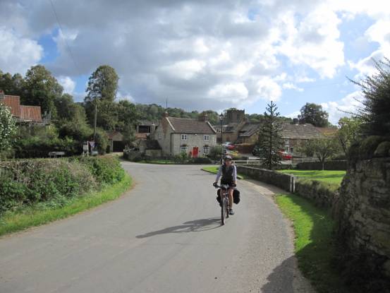
The village of Kilburn
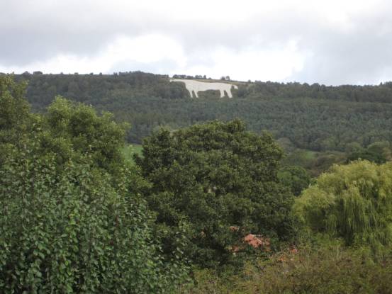
Kilburn has its own White Horse figure
in the hillside. Not ancient, it was cut in 1857, but impressive all the same
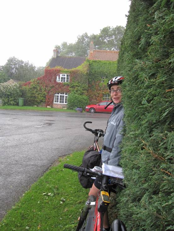
We sheltered from a number of intense
showers. Blown horizontal by the high winds, the rain was shot past us!
As the day progressed, the rain
dissipated, and finally as we dropped down to Pateley
Bridge the sun came out
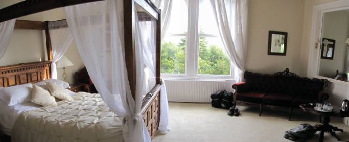
At the Harefield Hall hotel we
discovered we had been bumped-up to the Bridal Suite. If only we had not been
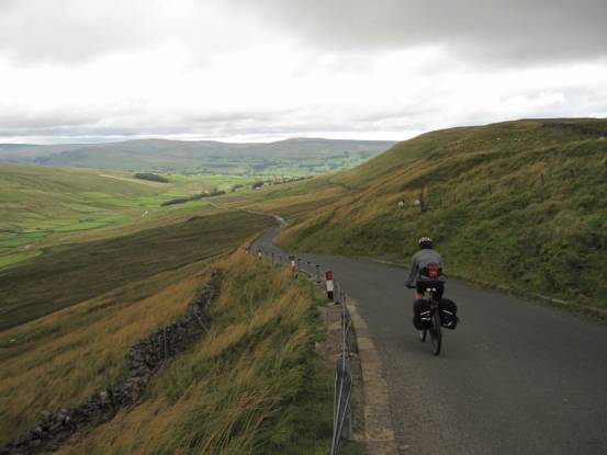
so knackered to appreciate it! The following day, which turned out
to be a beautiful sunny day, we cycled from Pateley
Bridge to Hawes: 36-miles with 3780ft ascent, grade Ex-1(73W). This would
have been our hardest day of the holiday, had it not been for the windswept
day before!
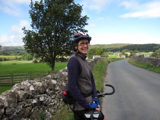
This is more like it. No wind, sunny
and warm
Julie can take any amount of this
weather!
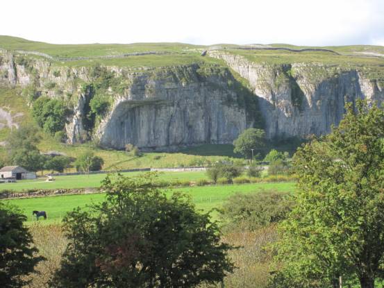
Kilnsey Main Overhang –
one of my old climbing venues (I wish…)
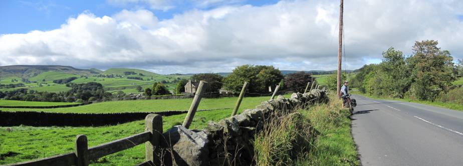
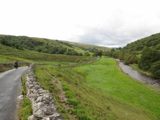
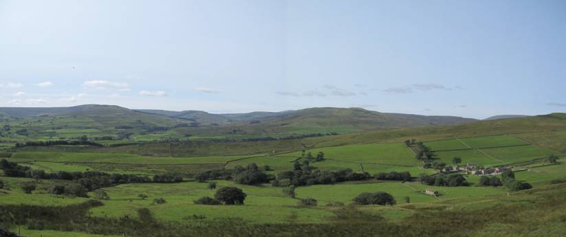
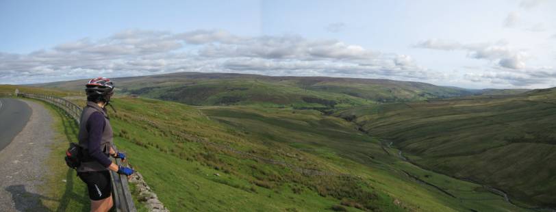
Beautiful Wharfedale
Uphill and down dale: quite an
energetic day! Our penultimate day we cycled from
Hawes to Romaldkirk: 33-miles with 3400ft ascent,
grade mild-D(72W).
New day, new dale: Wensleydale
More steep hills and great views
Wensleydale
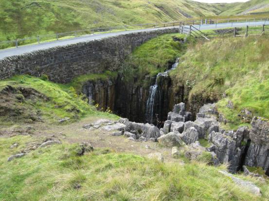
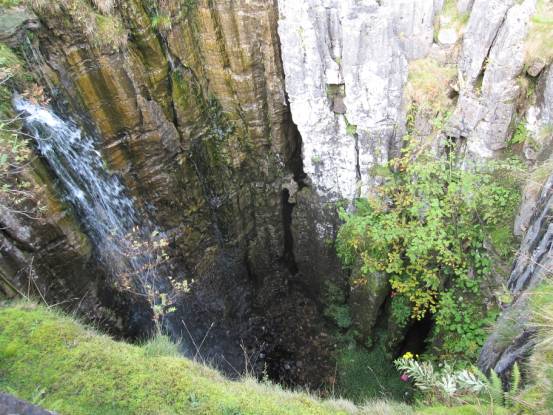
Over Buttertubs
Pass
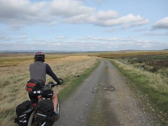
Looking into Arkengarthdale
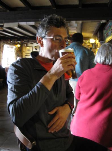
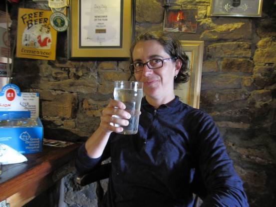
More steep hills, but this time with
a refreshment stop
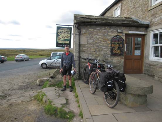
Tan Hill:
Britain’s highest pub at 1732ft above sea level
Another ambition satisfied
Leaving the Yorkshire Dales, we
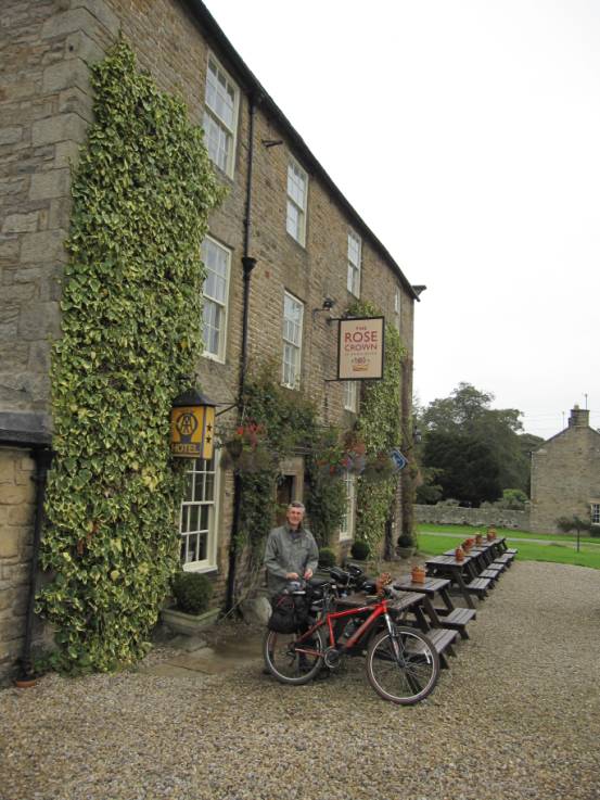
descend into Teesdale After another good day’s cycling we
arrived at The Rose and Crown,
Romaldkirk, for our last night of pampering Our last day’s cycling of the holiday
took us from Romaldkirk back to High Mickley: 34-miles with 3715ft ascent, grade hard-D(73W).
As predicted, our last day was to be
rainy: drizzle as we left Romaldkirk, heavy rain
later
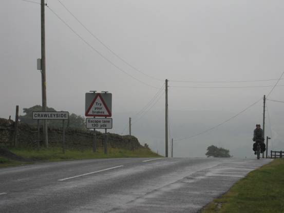
Julie just loves Crawleyside
Bank – especially in the rain!
And finally, full circle, 260-miles
and 22600ft later! Back
to the Top
|