Cycling Northumberland and the Scottish Borders, September 2012
Route difficulty calculated using cycalc
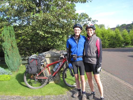
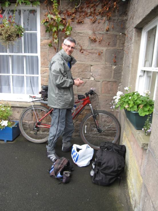
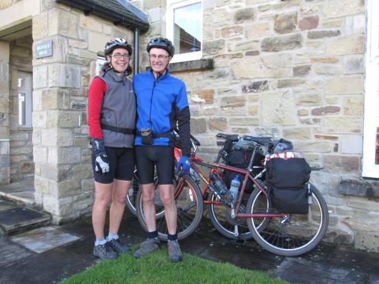
We started our holiday at Stamfordham
from the home of friends of ours
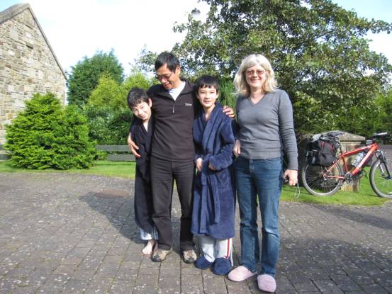
Martin, Jeanette, David and Stevie bid us a fond farewell…
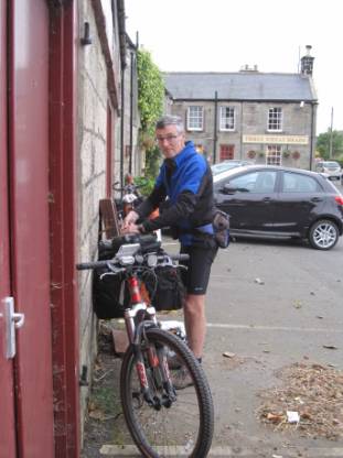
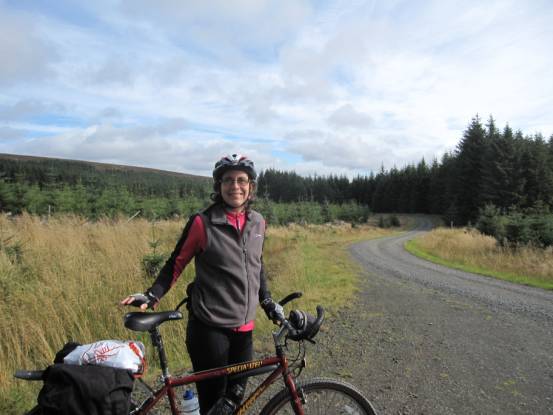
Day-1 took us from Stamfordham to Thropton: 33-miles with 2350ft ascent, grade hard-B.
|
|
|
|
|
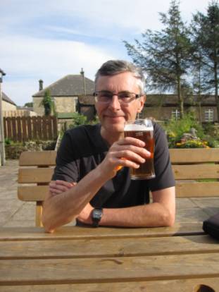
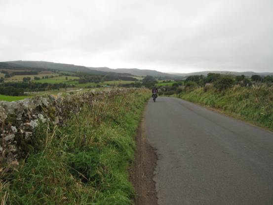
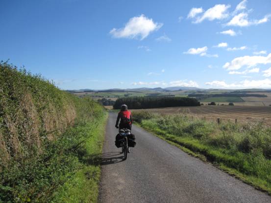
As always, The Border-Lands and Northumberland are “a best kept
secret” for cycling: very little traffic!
|
|
|
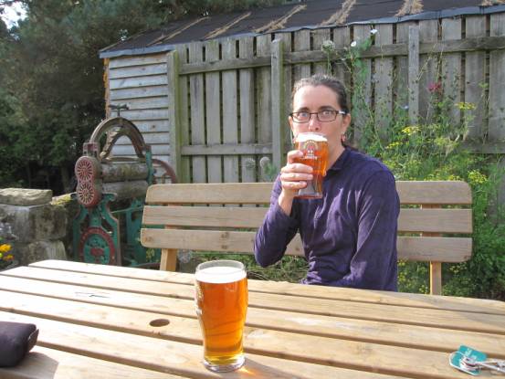
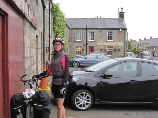
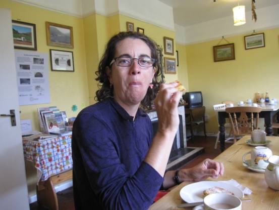
It was a relatively easy first day. We arrived at our first
night’s accommodation (The
Three Wheat Heads) in time for a relaxing pint
|
|
|
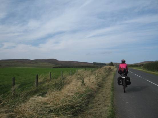
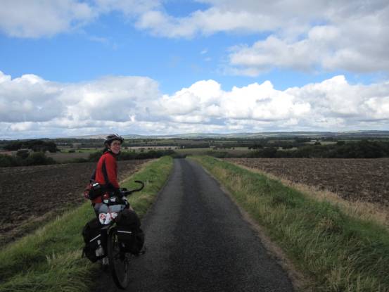
Day-2 was to be a little harder, 27-miles with 2500ft ascent,
grade average-B(67W), but that was without the
headwind we were to experience
|
|
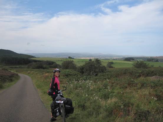
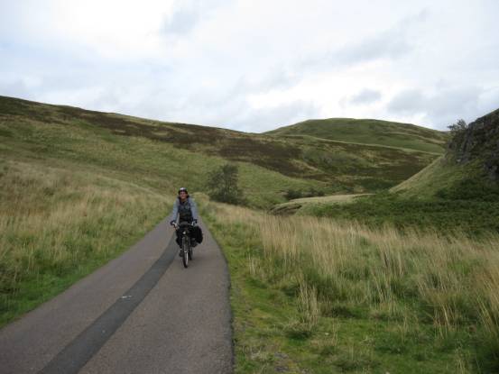
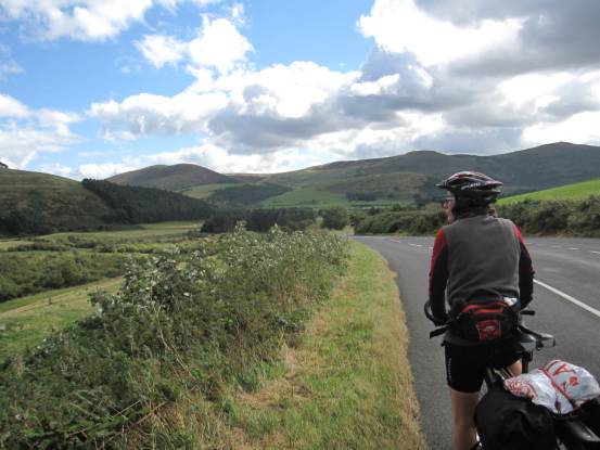
We cycled from Thropton to Byrness via the beautiful valley cut by the river Coquet
through The Cheviot Hills: a route I had long intended to do!
Again, more quite roads
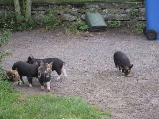
Past a farm with lots of piglets
|
|
|
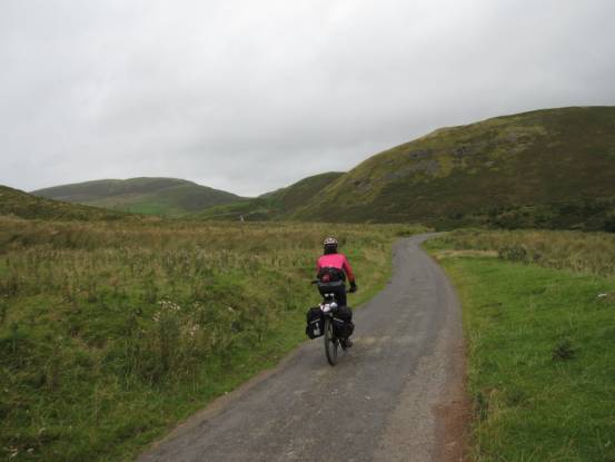
And in
to the Coquet Valley
Refreshments at, perhaps, the most remote tearoom in
Northumberland: Barrowburn
|
|
|
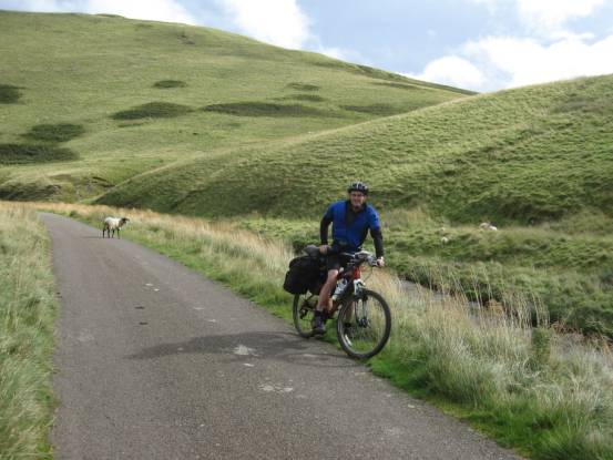
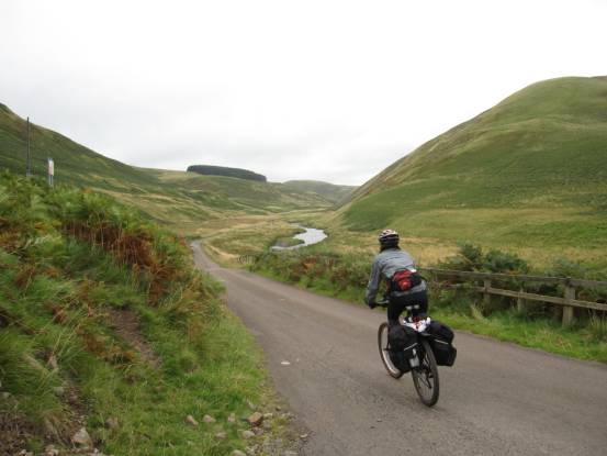
And the road continues deeper, and deeper, into the Cheviot Hills
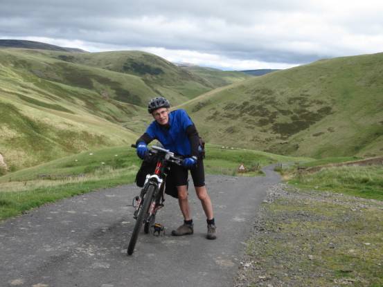
The hill and the headwind take’s its
toll!
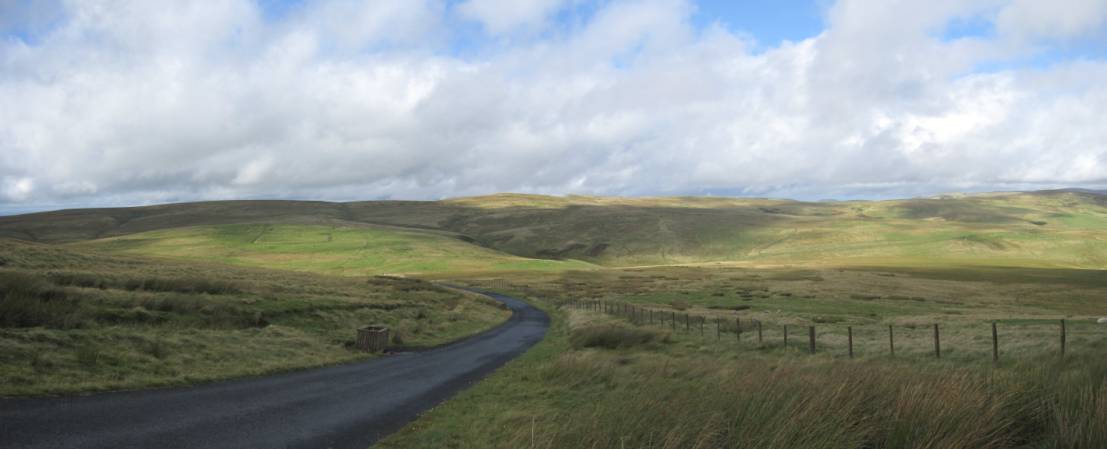
Climbing out of the Coquet Valley, heading south to Byrness. Can you make out the Roman Fort on the hillside,
one-third of the image from the left?
|
|
|
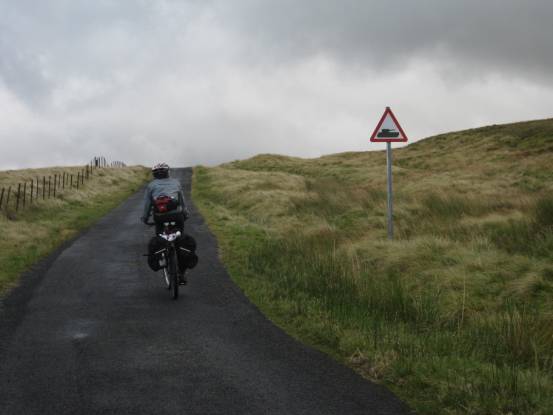
Upper Coquetdale is a military live
firing range: but not on this day! The long straight run to Byrness,
and the Forrest
View Inn, for the evening.
Day-3 was to be the hardest day: 33-miles with 2800ft ascent,
grade average-C(65W).
|
|
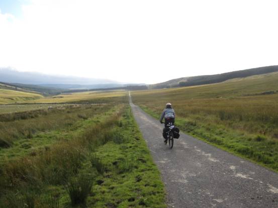
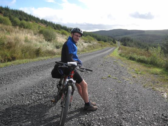
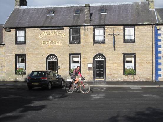
The route took us from Byrness to Newcastleton, almost entirely off road, through the width
of Kielder Forrest
|
|
|
Not many photos: one forest image looks much like any other.
It was a hard day for a number of reasons: made harder due to the
headwind, but also made harder as a result of track closure! It was only after
cycling 25-miles that we came across a sign, deep in the forest, stating that
the track was closed due to forest work – the suggested diversion took us over
another hill!
We stayed at The
Grapes Hotel, Newcastleton
The following day, day-4, was a pleasant 28-miles with 2380ft
ascent, grade average-B(65W). We cycled to Jedburgh, and for once the wind was
occasionally in our favour
|
|
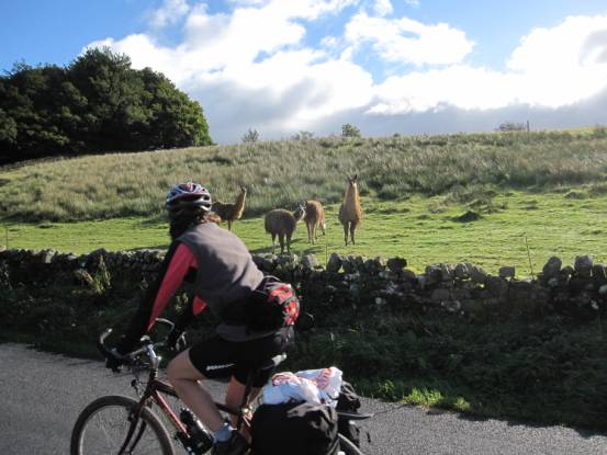
We saw lamas
|
|
|
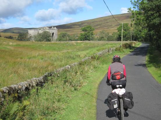
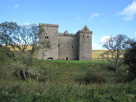
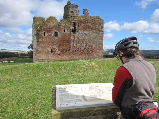
And an impressive castle: Hermitage
Castle
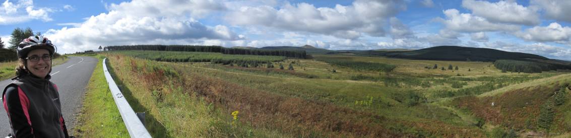
Big landscapes everywhere
And more deserted roads through The Scottish Borders
We had a very relaxing night at the Glenbank House Hotel
Day-5 took us to Wooler, 33-miles with
2100ft ascent, grade average-B.
|
|
The weather continued to improve: the wind subsided, and the sun
came out!
The Scottish Borders was a violent place 400-years ago: the Border
Reivers controlled this area, Cessford, from this castle
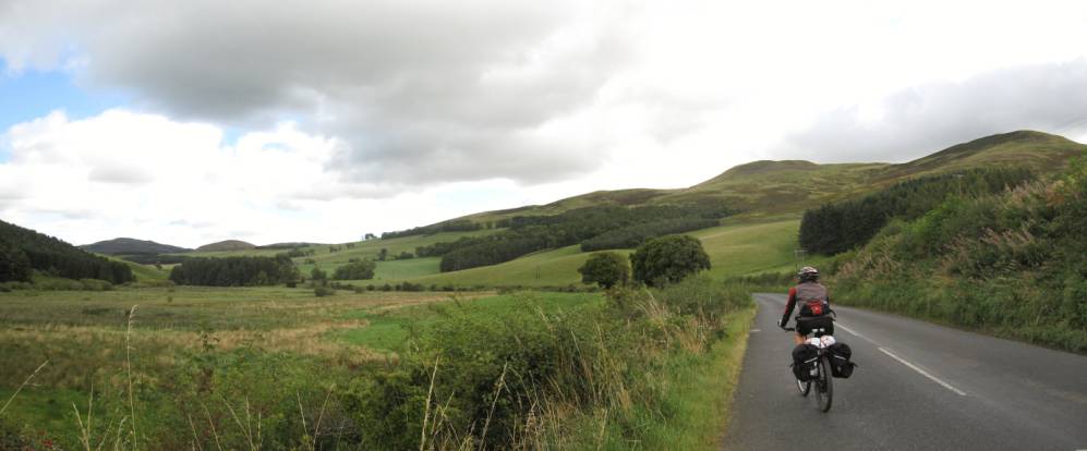
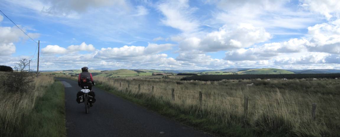
Back through the northern Cheviots on our way to Wooler
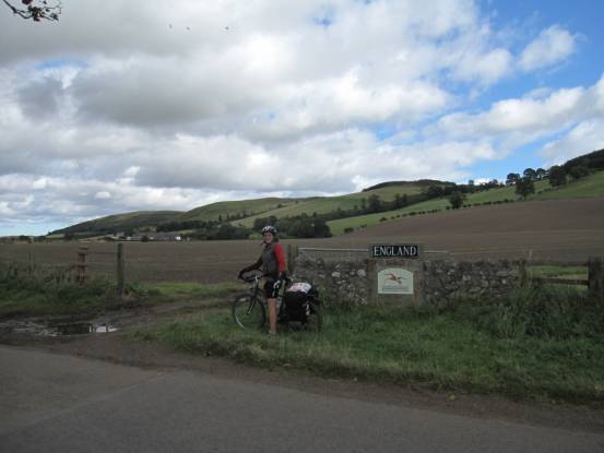
Back in to England
And the beautiful Cheviot Hills
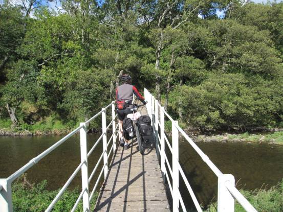
The summer floods had swept away the bridge we had intended to
use; we therefore had to resort to a footbridge
At Wooler we spent the night at The
Tankerville Arms.
The following day, day-6, and the weather took a turn for the
worse: we started in drizzle and ended in rain. We cycled from Wooler to Warkworth, a route that should have been 33-mile,
but we reduced it to 28-miles because of the weather
|
|
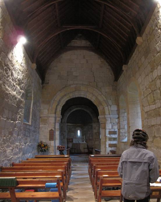
We popped-in to look at a very old church, restored in the
14th century: Holy
Trinity Church, Old Bewick
The weather resulted in not many photos being taken. We spent the
night at The Warkworth
House Hotel, and the following day the weather was much better.
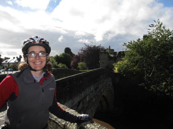
The river Coquet wraps around the village of Warkworth,
and the northern entry into the village is via this ancient fortified bridge.
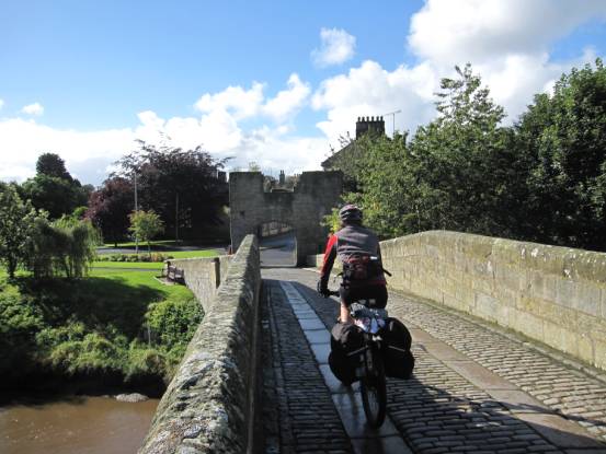
The old bridge is for foot-traffic
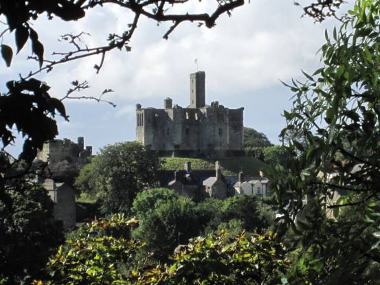
Warkworth
Castle, built by the Normans in 12th Century, dominates
the village
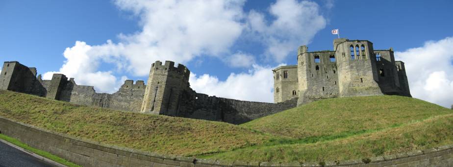
A wide-angle view of the castle: every child’s idea of the perfect
castle!
Anyway, as lovely as Warkworth is, this is our final cycling day,
and we must head-on. With 34-miles with 2270ft ascent, grade hard-B, to go, we
were treated to nice weather
|
|
Quite Northumbrian roads
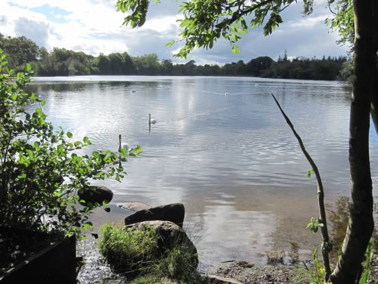
Past Bolam Lake
And finally, full circuit!