Cycling The English Lake District
For our 2013 cycling holiday we cycled from Stocksfield,
Northumberland, west to the Lake District.
Follow our route on the map below: it can be panned and zoomed.
Route grading using Cycalc.
View Cycling 2013 in a
larger map
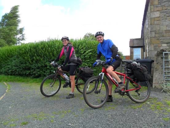
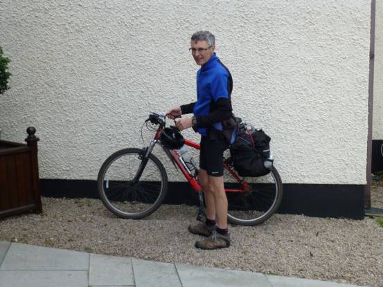
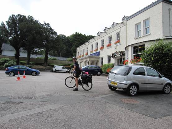
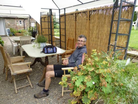
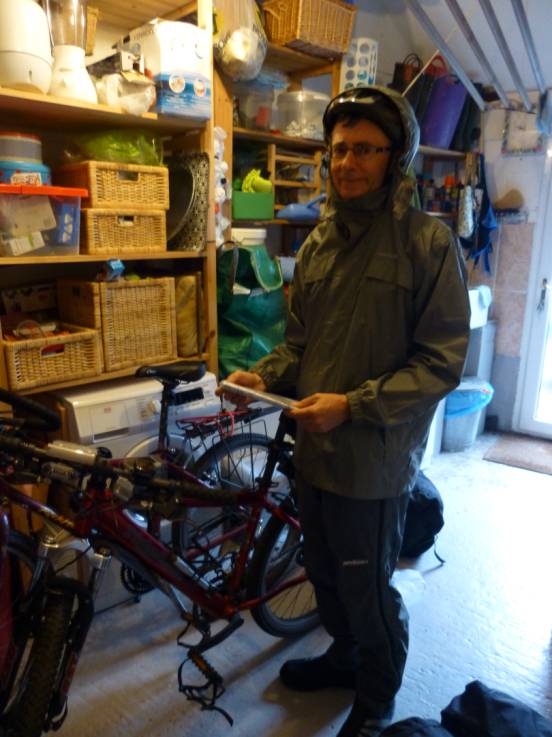
We set off from Alasdair’s home on Saturday 31 August
|
|
|
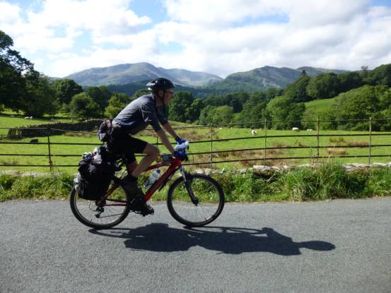
Our first day: 31-miles with 3915ft ascent, grade hard-D(77W): the hardest first-day ever! Windy, but we did have
sunshine however, as we crossed the moors of Northumberland and Durham
|
|
|
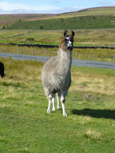
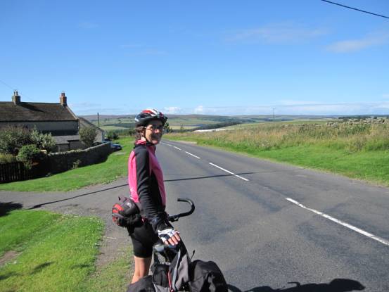
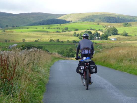
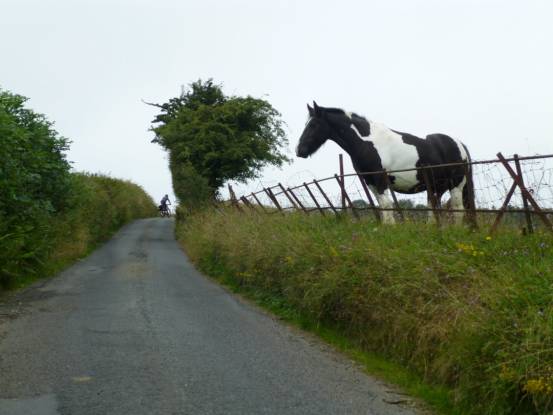
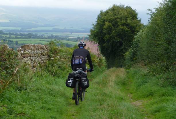
Long, quiet, roads, and strange residents
|
|
|
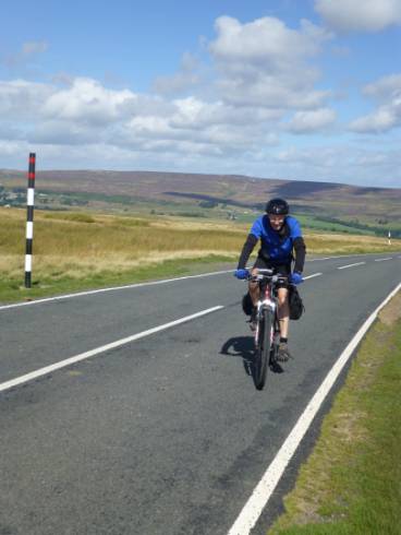
The wind was occasionally directly in our faces, therefore quite
tiring at times
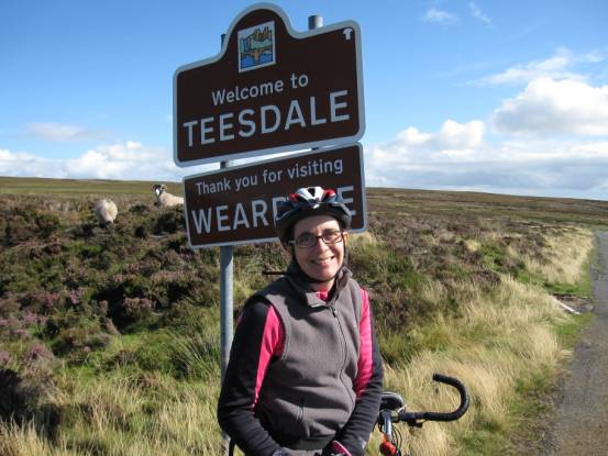
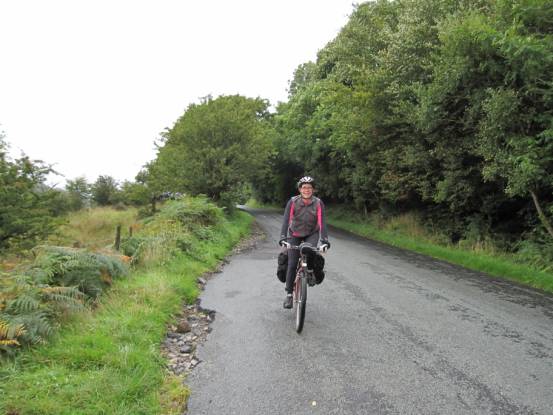
The wind didn’t seem to affect Julie, as we crossed into Teesdale
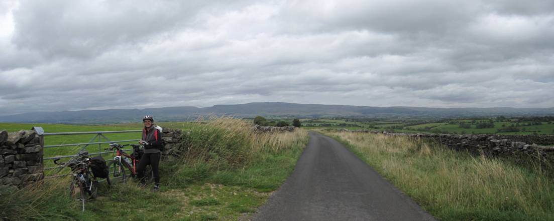
Looking back towards the Durham dales
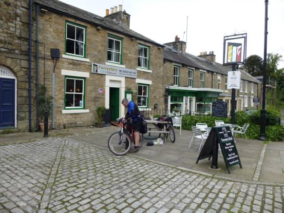
We finally made it to the Forresters Hotel, Middleton-in-Teesdale
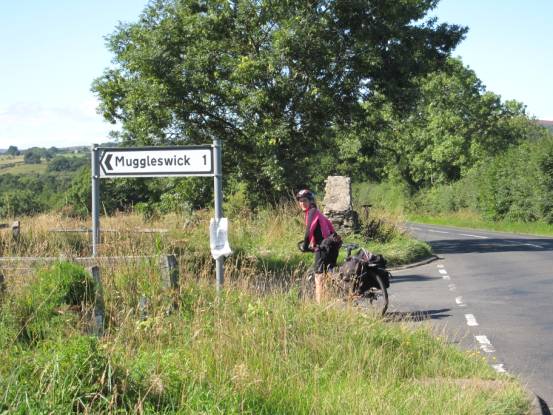
Day-2: 30-miles with 2547ft ascent, grade mild-C(62W),
was even windier: ~14MPH, as later estimated, into our face most of the day!
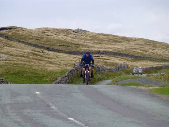
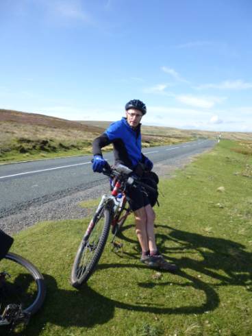
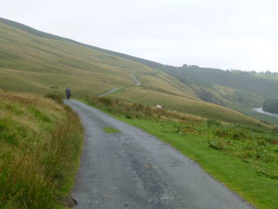
One section in particular, climbing over the pass into Cumbria,
was extremely windy!
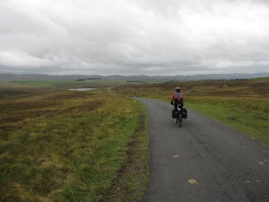
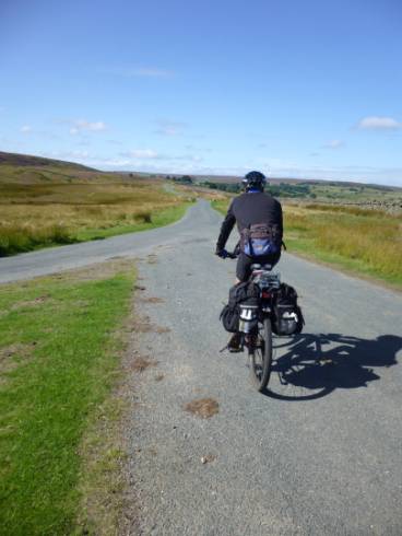
And on and on, into the wind across the Cumbian
moors…
|
|
|
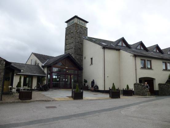
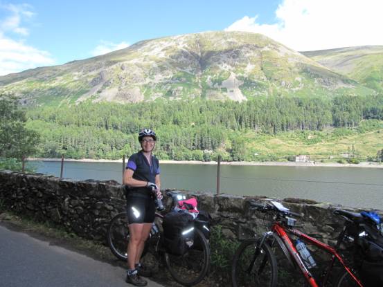
We finally make it to our night-stop, Westmorland Hotel:
was I glad!
This day was supposed to be the easy-cycling day, however due to
the wind it was the hardest days of the holiday – quite possibly making it an
Ex-grade
The next day, day-3: 30-miles with 3300ft ascent, grade average-D(69W), the wind was much subsided. And we finally reached
the Lake District
|
|
|
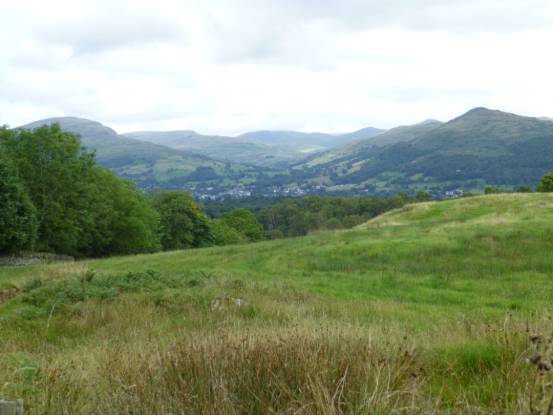
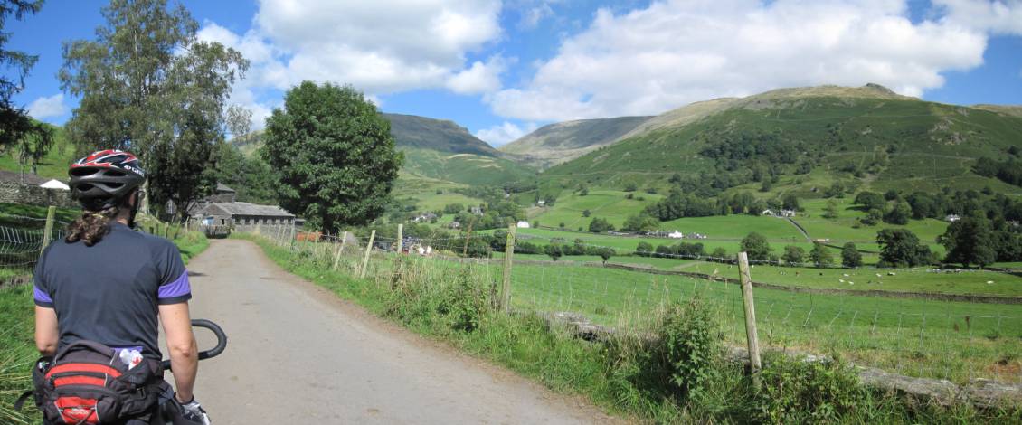
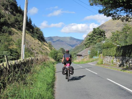
As we progressed towards Shap, the cloud
got lower providing a cooling damp
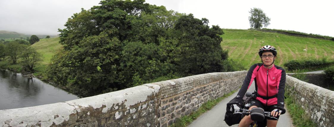
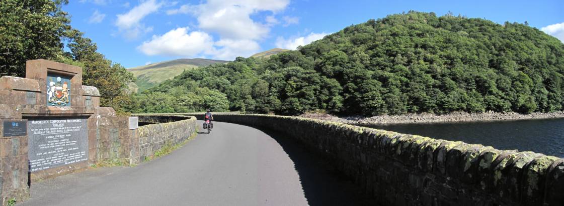
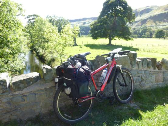
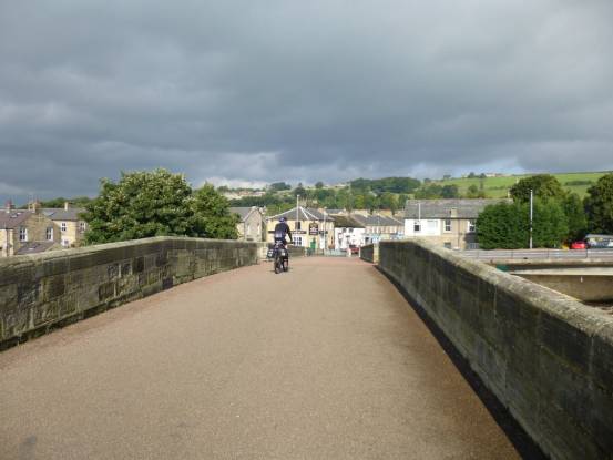
Over the bridge of the River Lune
|
|
|
Spectators turned out in force to cheer us on. And finally we
crested the last hill of the day
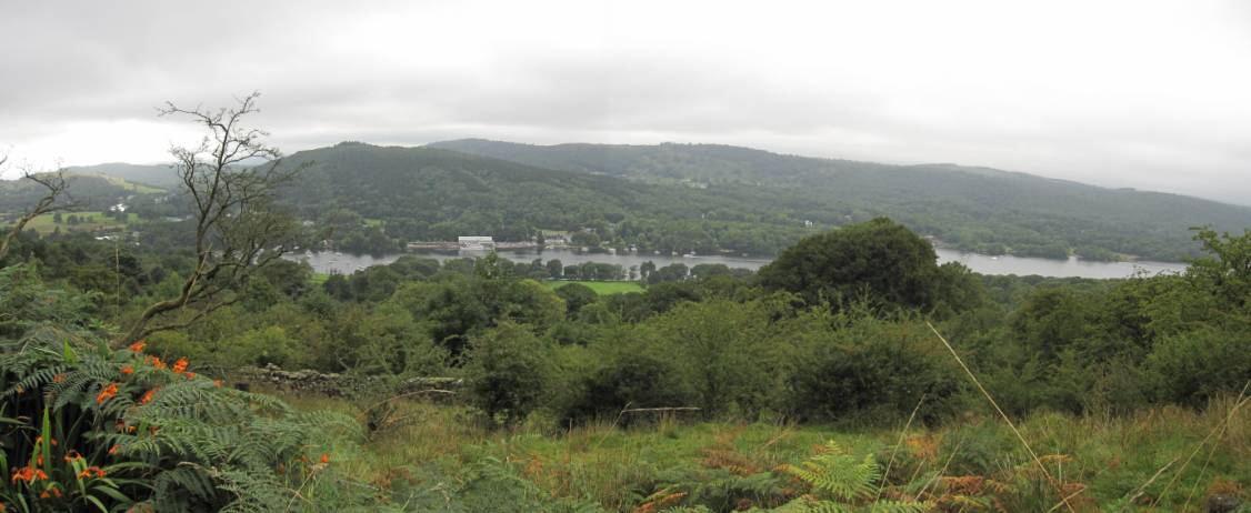
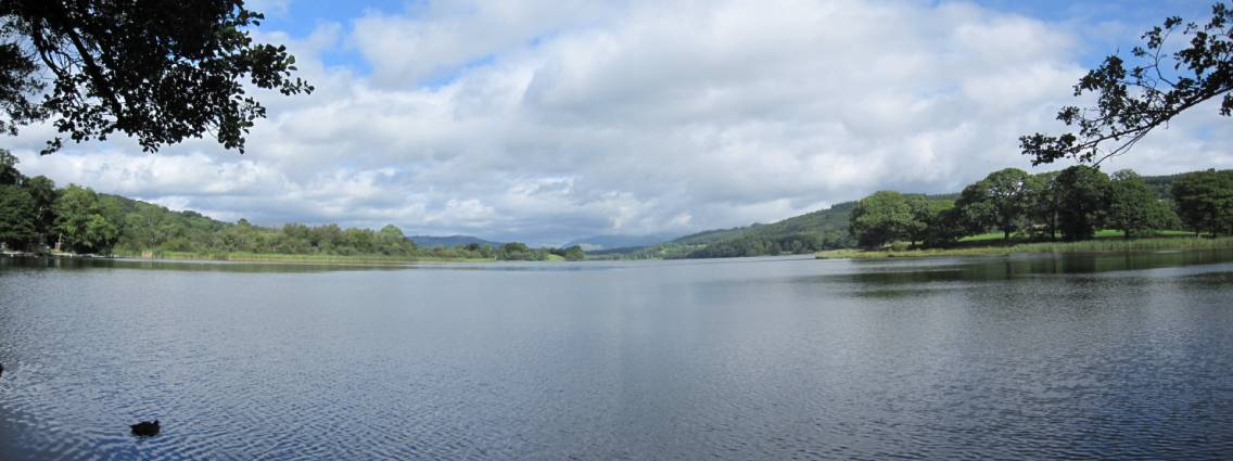
We catch our first view of a lake: Lake Windermere
|
|
|
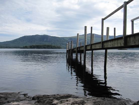
Our accommodation in south Windermere was the Newby Bridge Hotel
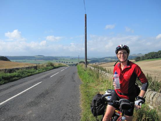
The following day: 31-miles with 2840ft ascent, grade mild-D(69W) the weather had improved enormously: 18degC, blue sky
and no wind!
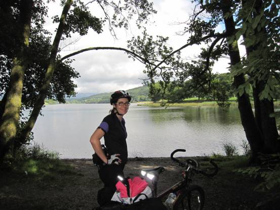
It was a fabulous day. We passed many lakes and tarns (as here: Esthwaite Water)
|
|
|
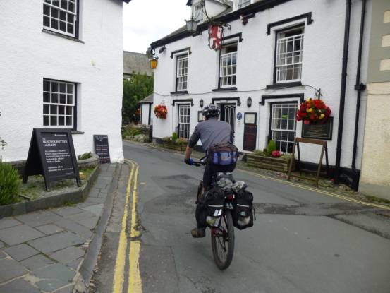
Passed through many beautiful Lakeland villages (such as Hawkshead)
|
|
|
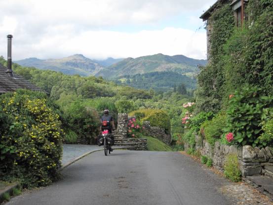
And not forgetting the Lakeland Mountains (the view of Langdale from Skelwith Fold)
|
|
|
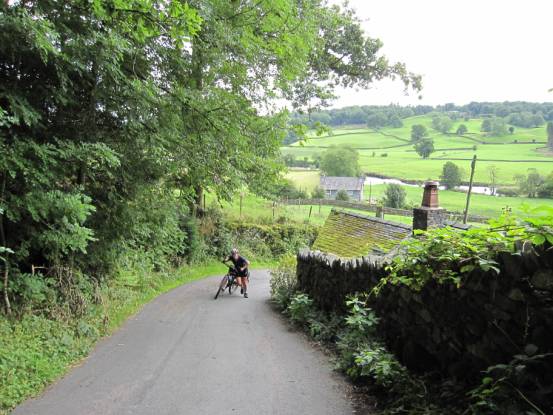
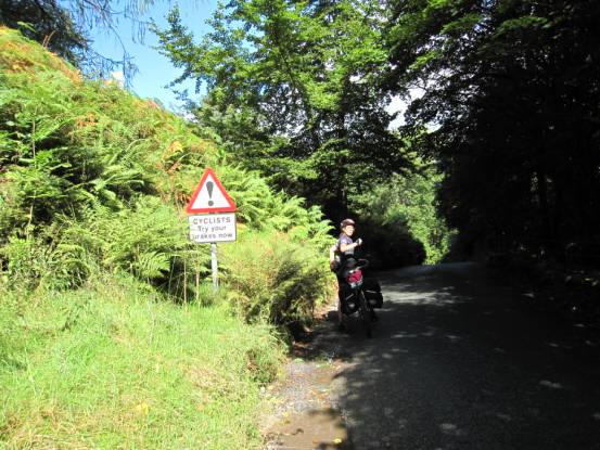
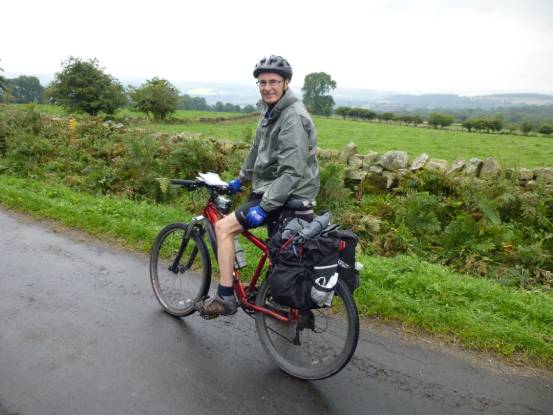
There was the occasional 27% hill, but on the whole the cycling
was fabulous
|
|
|
The downhills could be scary, but the views were worth it! (Here
looking towards the Helvellyn massif, with lake Grasmere).
|
|
|
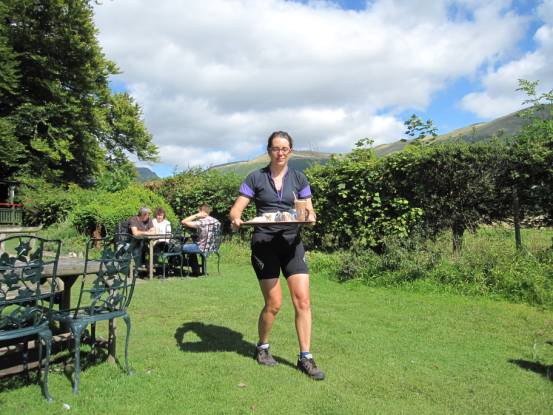
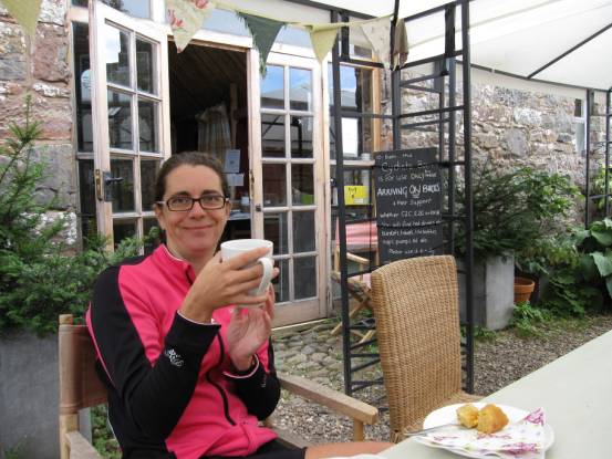
There’s always time for tea and cake
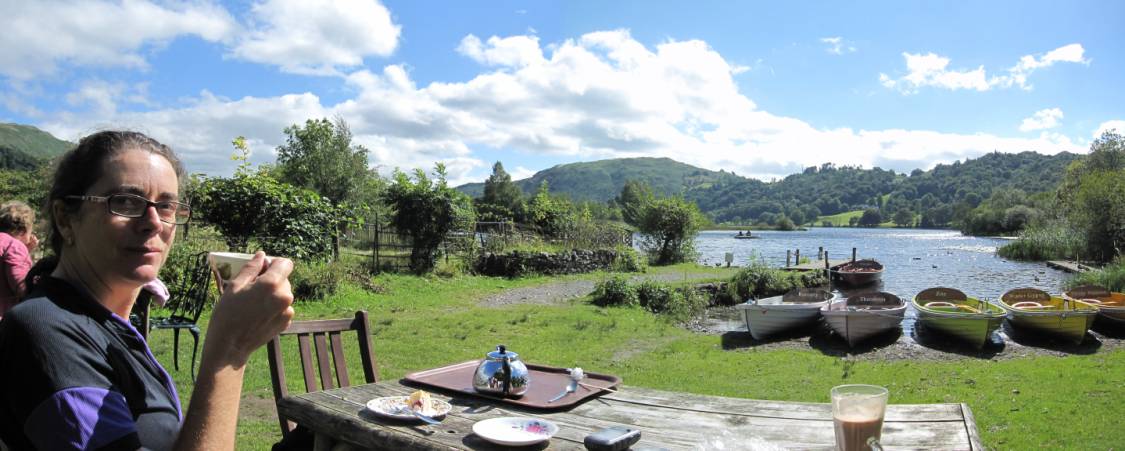
How idyllic: tea, hot chocolate and cakes on the shores of lake
Grasmere
Back on the road we cycle nearer and nearer to Helvellyn
as we approach Thirlmere
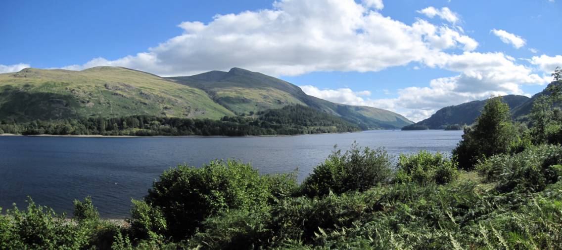
Thirlmere
|
|
|
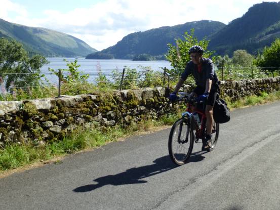
All of the cars use the road on the other side of the lake. The
quiet west-lake road is superb cycling
In the 1890 a dam turned two smaller lakes (Leathes
Water and Wythburn Water) into Thirlmere
From Thirlmere we cycle into St John’s
in the Vale
|
|
|
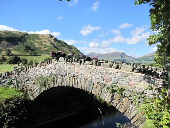
An old packhorse bridge over St John’s Beck. Skiddaw is in the far background of the right-hand photo
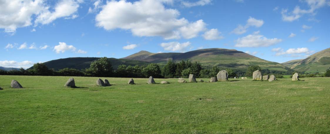
We visited Castlerigg Neolithic
Monument, dating from around 3200B.C.E.
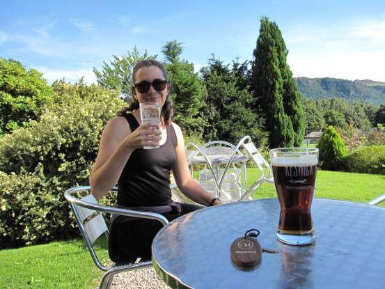
Not far now to Keswick, and two nights stay
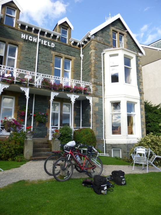
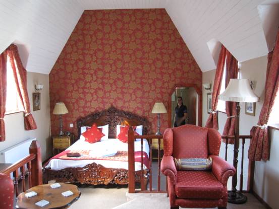
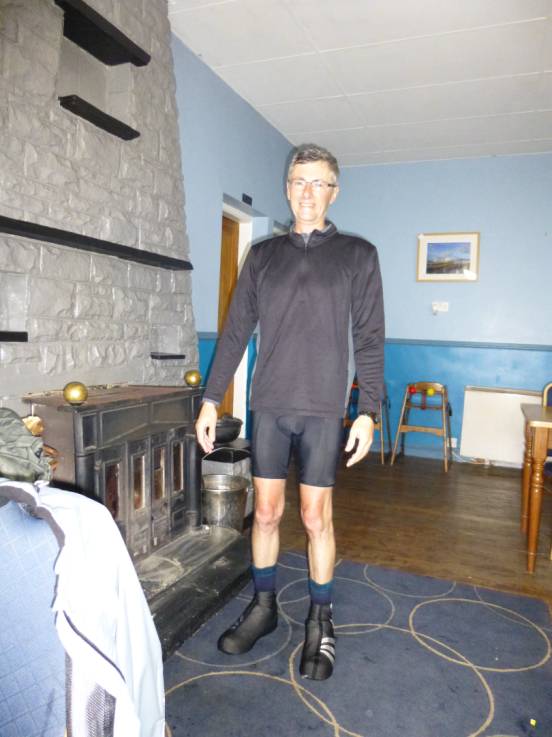
We finally arrive at the Highfield Hotel, and our day of rest in
luxury
|
|
|
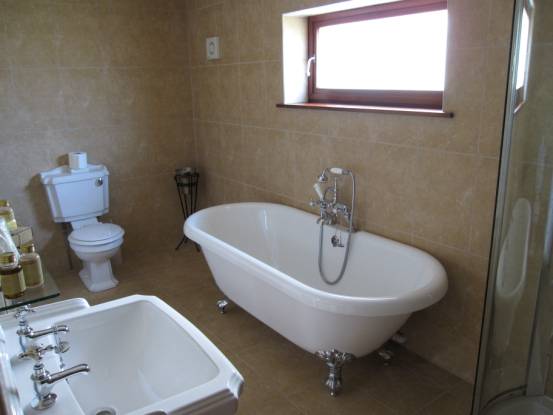
Julie is overjoyed with finding the BIG bath
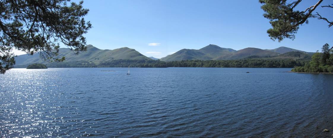
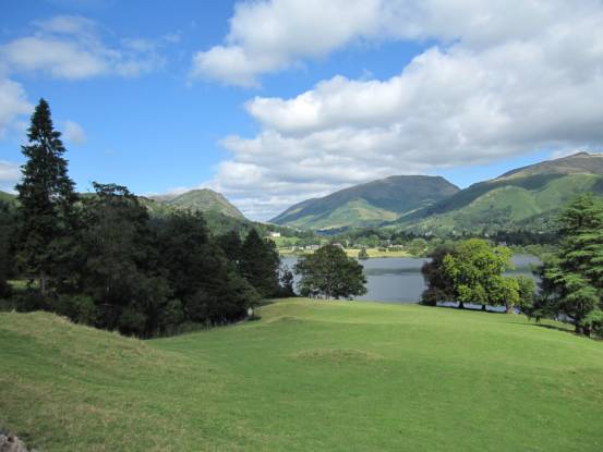
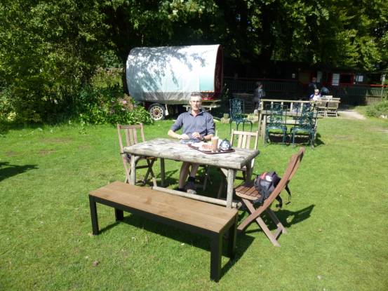
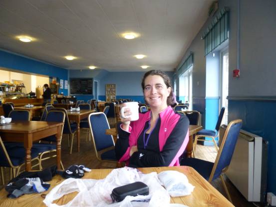
The following day, our rest day, we meandered around Keswick and
Derwent Water
|
|
|
Time to relax and wait for the ferry
|
|
|
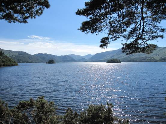
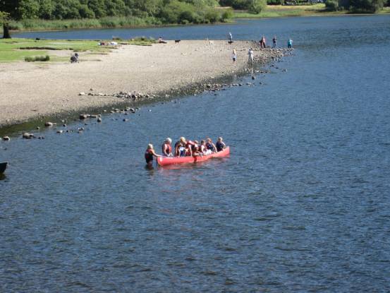
Derwent Water is a lovely lake: ideal for kids in boats
|
|
|
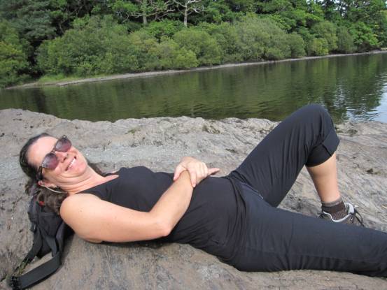
We are on holiday, after all
|
|
|
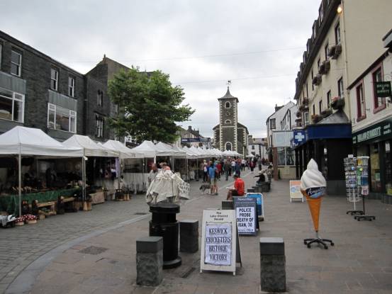
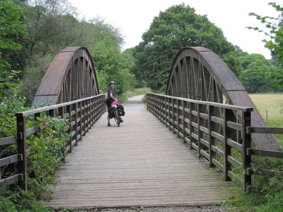
Market day in Keswick, but for us it’s time to leave. We head-out
on the disused railway line on route for Melmerby
(31-miles with 2370ft ascent, grade average-C(64W)
|
|
|
In the village of Greystoke there is a
great cyclists rest stop: not to be missed!
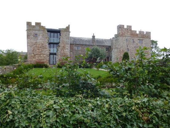
An absolutely stunning, imaginative, restoration of an ancient
building: Blencowe Hall
|
|
|
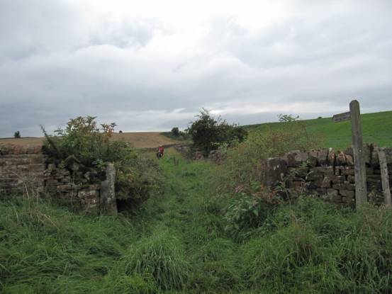
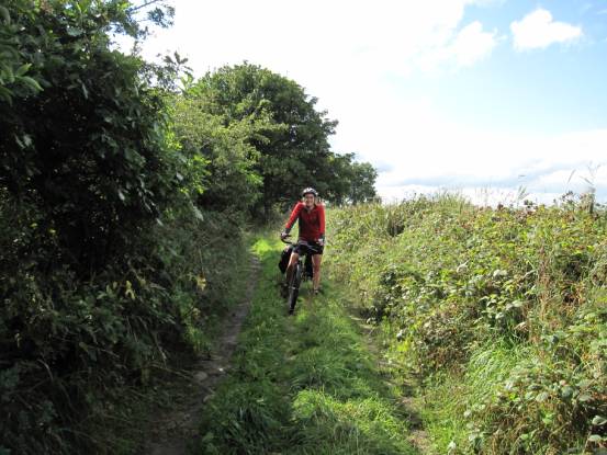
Sometimes the going got a little tricky
We arrived at our B&B (The Gatehouse) in Melmerby
not knowing when the much-forecasted rain would come
We managed to stay dry when we went to the local pub for a meal: Shepherds Inn
|
|
|
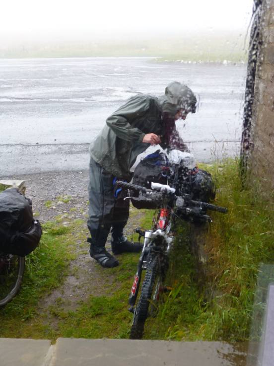
The following day: 36-miles with 3200ft ascent, grade
average-D(63W) without the inclement weather, which was the longest day of the
holiday, and up the highest pass (1900ft), it was absolutely p***ing-down! The MET Office issued flood warning for the very
roads we had to use! I was not a happy chappy!
From Melmerby the road progresses constantly uphill for the first 5-miles to the top of Heartside Pass.
Water was running down the road in torrents.
Luckily for us very little traffic was using the road – some folk at least
heeded the weather warning
|
|
|
You’ve just got to keep smiling through. At lease Heartside Pass has a tearoom!
Needless to say, the cameras were packed safely away in waterproof containers. There are no other photos of this epic day!
|
|
|
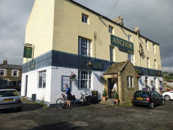
The rain finally stopped after about 24-hours. We stayed our last
night in the Anchor Hotel, Haydon Bridge, right on the banks of a much swollen
River South Tyne. We couldn’t face another day of rain and steep hills, so we
radically revised the route for the last day: 28-miles with 2850ft ascent,
grade average-C(69W)
|
|
|
Back into Hadrian’s Wall country, with occasional showers to keep us cool
|
|
|
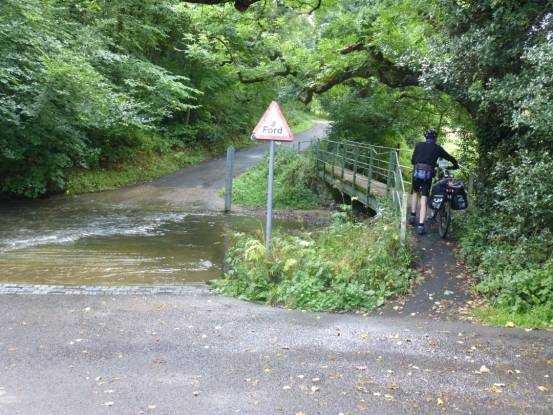
The route back to Alasdiar’s was not
without difficulty
|
|
|
Well, another year’s cycling adventure comes to an end: 217-miles
with 21000-ft of ascent
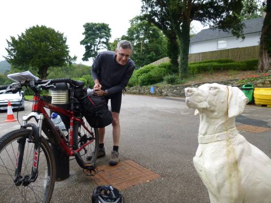
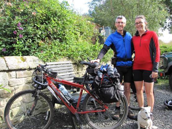
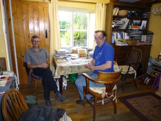
Many thanks for accommodating us Alasdair. And:
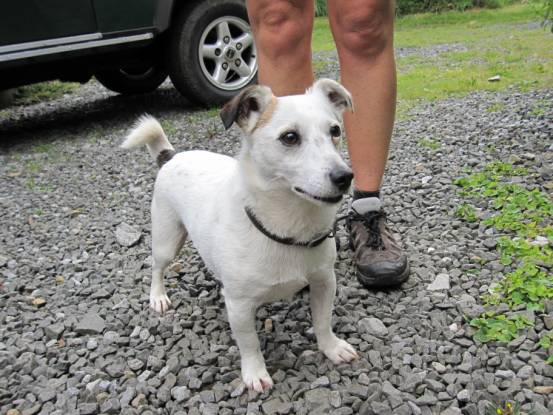
Thanks to Pushkin for his entertainment :-)
After the holiday, the very next time Julie was on her bike (cycling back from work), the rear wheel disintegrated!
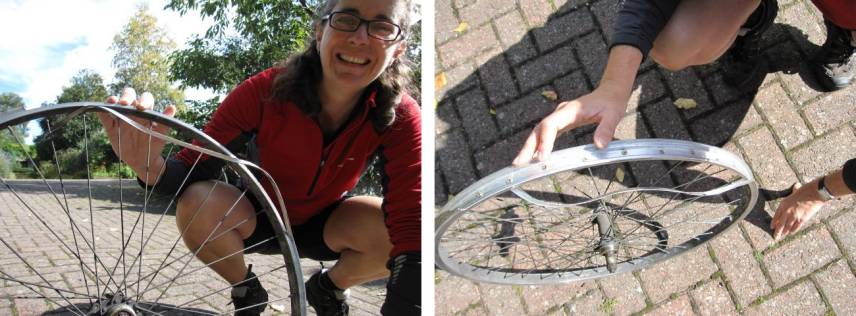
We’re very lucky that this didn’t happen whilst we were cycling
across remote moors!