Julie and Lance, Personal
Website of Julie Harris and Lance Thompson, including; Latest; Julie’s Geeky
Gardener Blog; What Inspired me; Cycle Routes; Cycling Grading System, Walking
Routes; Favourite Wines; Food; Recipes; Archive; Ideas and Geeky Electrical
Electronic Tools; Family and Friends Pages; George Mossman Butterfly; Sandy and
Graham Harris; Italian Connection; George Gibson; Ashley Johnson.
|
Kingussie
October 2021 In mid-October we holidayed for a week in Kingussie, somewhere we have
never stayed – in fact somewhere where, more usually, we pass on the A9
heading further north. We had a very nice 7-nights at the McInnes House Hotel,
and recommend it when visiting the area around Cairngorm National Park.
We walked or cycled each of our 6-days, and the area has lots to offer for –
a week is not long enough. |
|
|
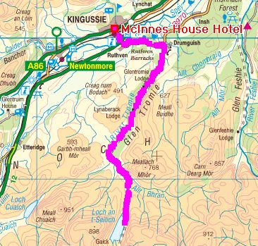
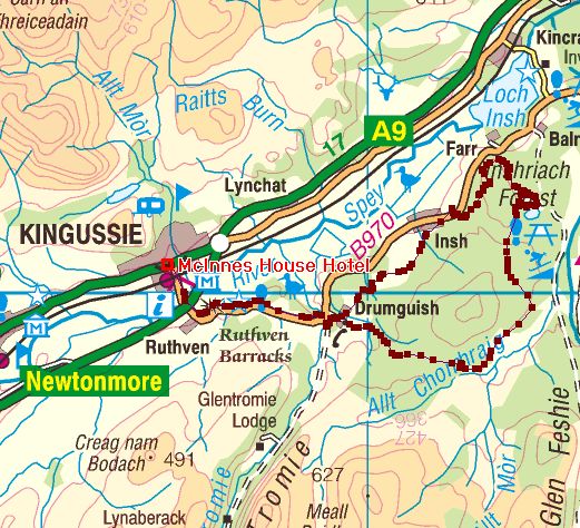
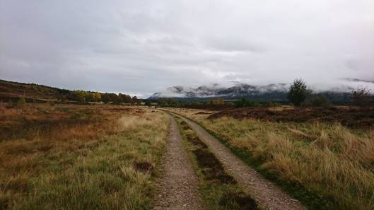
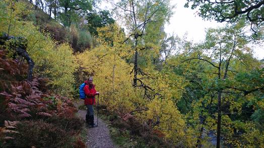
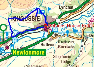
Day-1: Glen Tromie 25-miles, grade hard-A (Click the above map to open a
Google Map of the route) |
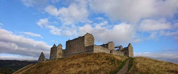
The route from Kingussie takes you past Ruthven
Barracks. The location of two castles before the barracks, the hill has been a
defensive location since 1229. Certainly worth a 20-minutes visit. |
|
|
|
|
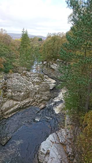
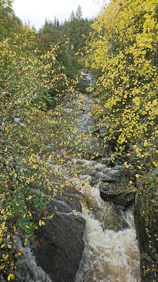
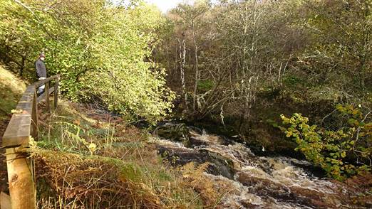
Just as you leave the road to
cycle down the glen, you cross a bridge over a rather impressive gorge. |
|
|
|
|
|
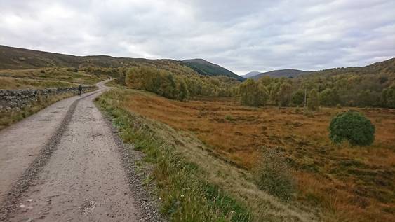
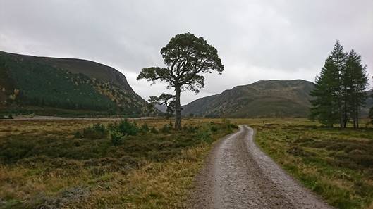
The track through the glen is a private road – access to walkers and
cyclists only. The track is in excellent condition throughout, at least as
far as Loch an t-Seilich. The weather on the outward leg was cloudy and cold
– frost at the beginning! |
|
|
|
|
|
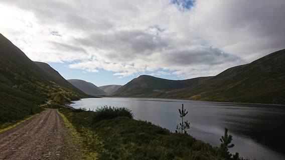
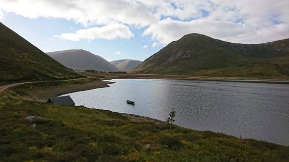
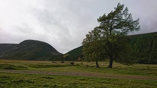
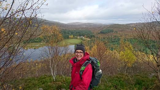
The weather improved enormously, and by the time we were cycling back we
had blue skys and sunshine. Glen Tromie is a beautiful glen, and an
excellent, easy bike ride. |
|
|
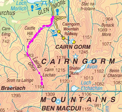
Day-2: The Lairig Ghru from the
Sugar Bowl car park. 11-miles with 2300ft of ascent (Click on the above map to open
a Google Map of the route) |
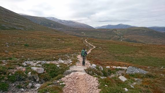
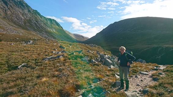
It was the only day of our holiday that we were able to see the summit of
Cairngorm. The track from Sugar Bowl is the shortest route to Lairig
Ghru. The track is largely in excellent condition, but the pass
through the Chalamain Gap is a boulder-strewn hell! |
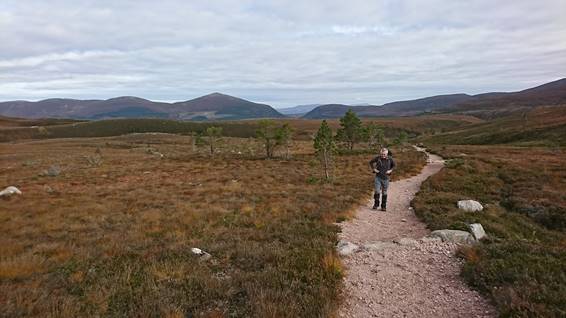
|
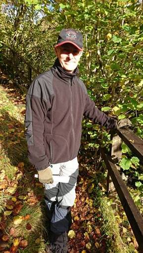
Julie on route for the Chalamain
Gap. |
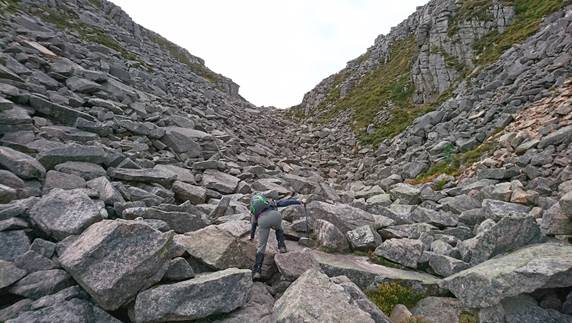
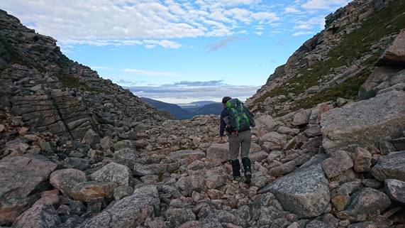
The Chalamain Gap: the pass into
Lairig Ghru. |
|
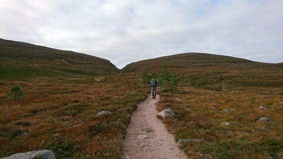
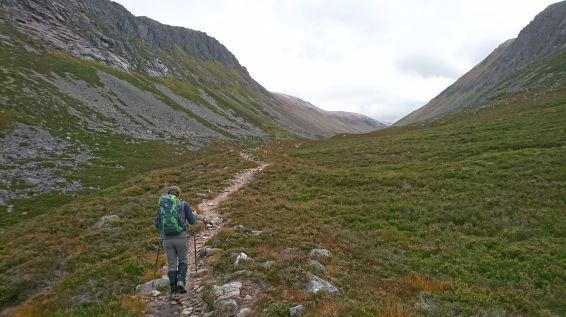
Through the gap and on to Lairig Ghru: the valley running to the left in
the photo above. |
Into Lairig Ghru. |
|
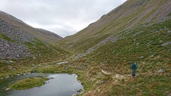
On this side the water flow’s
north to the River Spey. |
Centre of Lairig Ghru. Waters a little further south of this point flow
to the River Dee. |
|
|
|
|
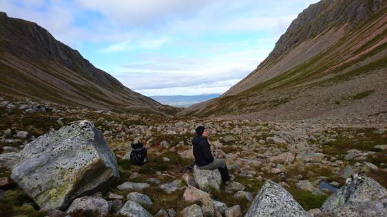
As with the previous day, the
weather improved as the day progressed. But we still had to do the Chalamain
Gap again! |
|
|
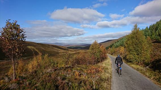
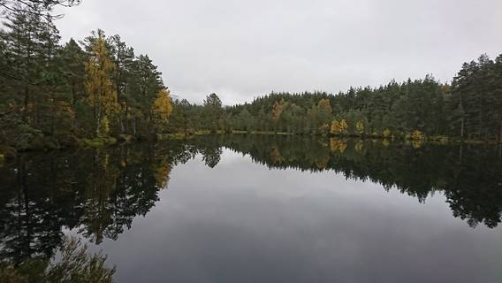
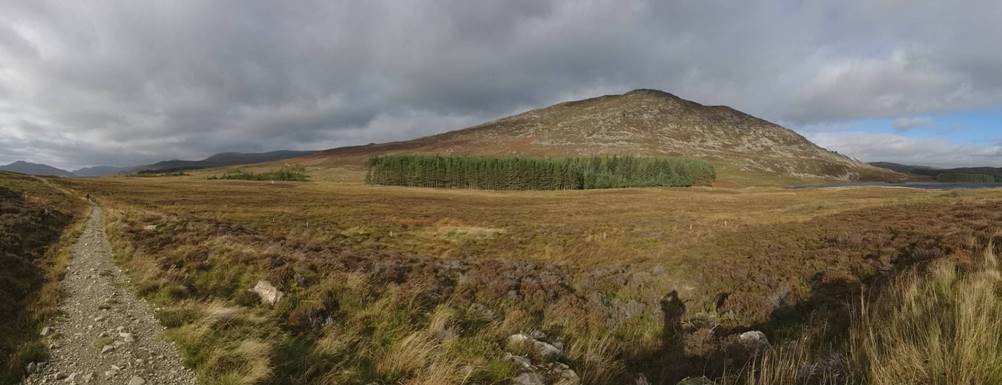
Day-3: Cycling the Inshriach
Forest. 19-miles, grade mild-B(72W) (Click on the above map to open
a Google Map of the route) |
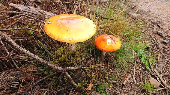
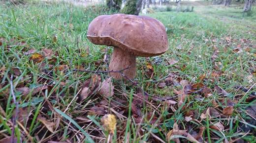
This cycle ride took us through a forest rich with fungi. There were
also many good edible mushrooms, but we couldn’t harvest them so far from
home! |
|
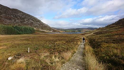
Cairngorm steaming: the weather had changed – warmer and wetter. |
At the half-way point there are
some beautiful lochs. |
|
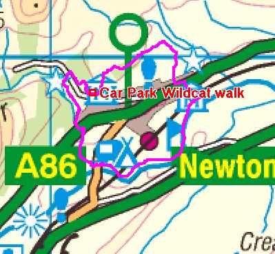
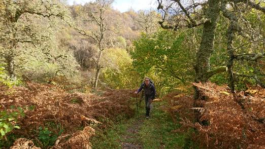
Day-4: The Wildcat Walk 6-miles with 470ft of ascent (Click on the above map to open
a Google Map) |
This is a fabulous walk. Way-marked the whole way, the route takes you
through many different environments: much recommended! |
|
|
|
|
The autumn woodland was
beautiful. |
|
|
|
|
|
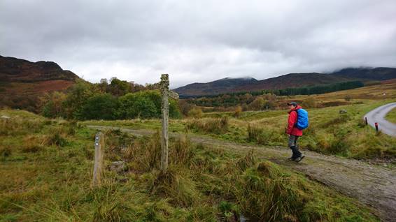
The Wildcat Walk is a really
lovely route. And more mushrooms – but still we couldn’t pick them! |
|
|
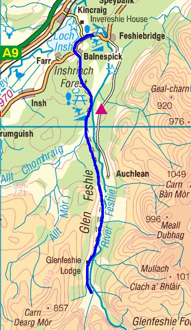
Day-5: Glen Feshie bike ride 18-miles, grade hard-A(62W) (Click on the above map to open
a Google Map) |
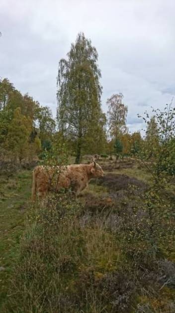
Glen Feshie (and Glen Tromie) is undergoing rewilding: lots of native trees,
signs of pine martin and (we believe) Scottish wildcat live in these glens.
Of the two glens, Glen Feshie is the most wild - and feels more remote. |
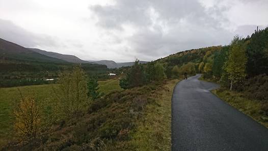
|
The glen road is almost entirely
tarmac. |
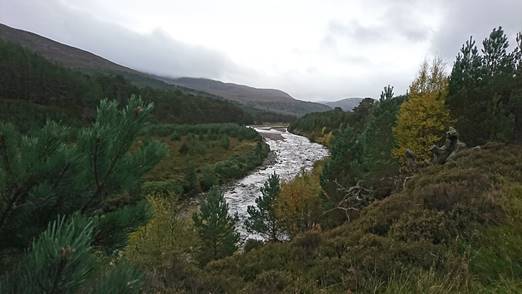
The Feshie river has a very highland feel: more remote than the Tromie
river. |
|
|
|
|
Our turnaround point: this was
as far along the glen you can go without wading the river. The glen opens out into a wide
expanse – it was very windy here. |
|
|
Day-6: Creag Bheag 7-miles with 670ft of ascent (Click on the above map to open
a Google Map) |
Our last day of the holiday, and
it was sunny! We did a walk from the hotel to
the local summit. |
|
Our walk first took us up Gynack
Burn. |
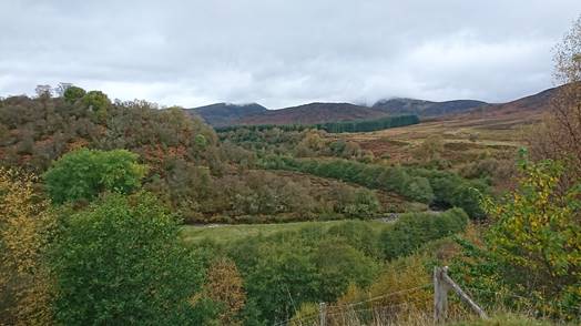
Ascending Creag Bheag, immediately
north of Kingussie, and looking down to Loch Gynack. |
|
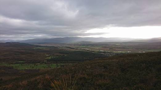
The view east from Creag Bheag,
towards Cairngorm and Insh Marshes; flood-plain of the River Spay. |
Having descended Creag Bheag we
continued our walk west towards Newtonmore. |
|
From Newtonmore looking east,
back towards Creag Bheag. We were quite surprised by the variety
of walking and cycling options around Kingussie and Newtonmore. We had an excellent holiday! |
|