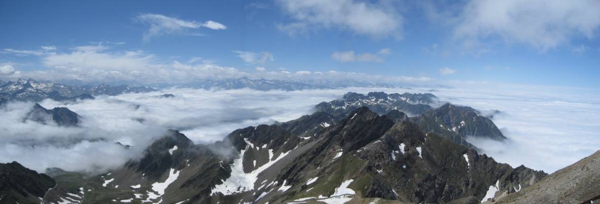
The mountain landscape of the
Pyrenees is the place to be for cloud inversions.
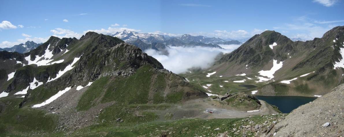
This view and the previous image were taken on the ascent and
summit of Pic du Midi.
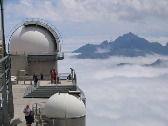
Pic du Midi is the location of the Astronomical Observatory of
France.
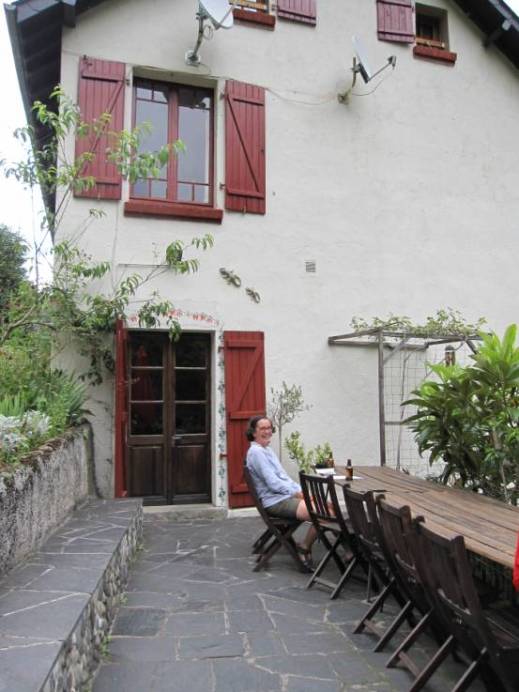
Our accommodation for 10-days was Les Ruisseaux, a few minutes drive from Cauterets, and
is to be recommended for the friendly relaxed atmosphere and great food!
Cauterets is an excellent centre for a walking holiday. The area has many
trails of great variety, and all levels of fitness. There is also an absolute
gem of a walk called the Circuit of the Lakes (Pont du Cayan
Loop): I personally rank this walk second only to the high circuit at Lake
O’Hara, Yoho National Park, Canada.
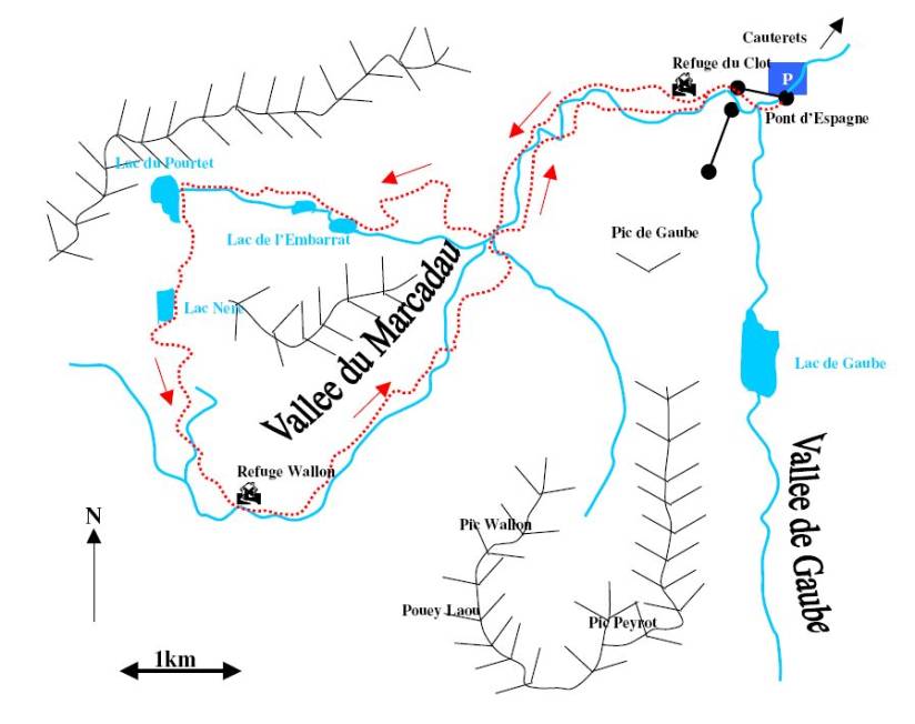
It is very rare for Julie and I to put walking route maps on our
blog, but this walk is such gem (the big French secret) that we have included
it here. It is a walk for reasonably fit people, being a little more than 16km
in distance and 1000+m of ascent. Guidebooks vary as to whether to do the route
clockwise or, as we did, anticlockwise. After completing the walk we felt that
anticlockwise was the right way to do the walk: the steepest climbing is then
done at the beginning (with fresh legs) taking you to the stunning Lac de l’Embarrat. Allow 8-hours for the walk, this will afford
you plenty of rest and photo opportunities.
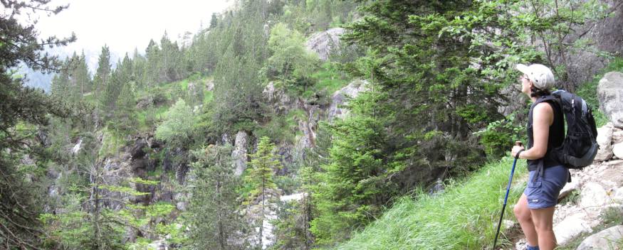
A view from the climb to Lac de l’Embarrat.
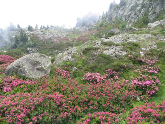
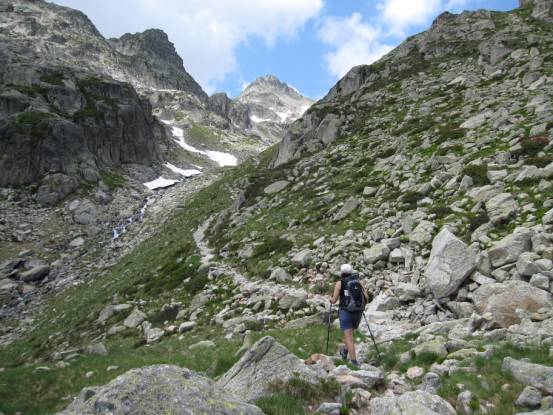
You climb through meadows filled with flowers,
And in to hidden high valleys.
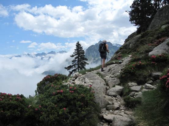
Around every corner there are magnificent views.
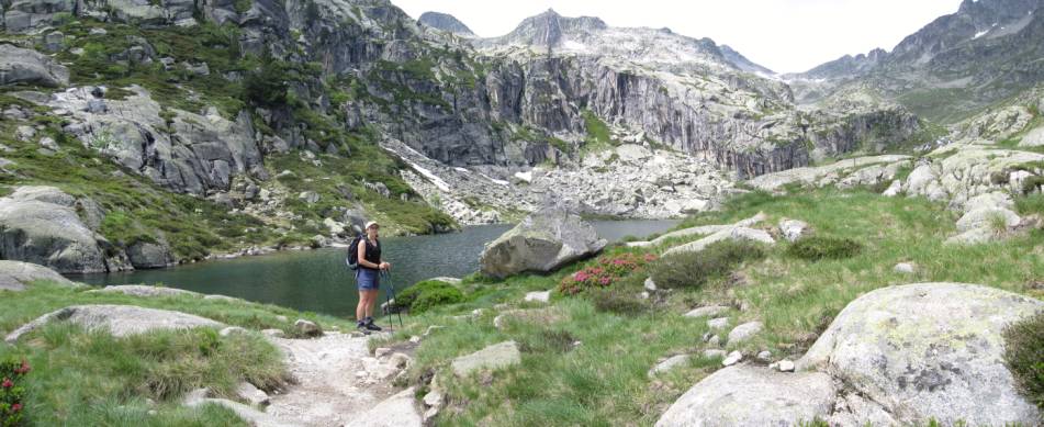
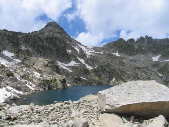
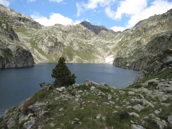
Lac de l’Embarrat.
The path continues on the north side of the lake.
Looking down on to Lac de l’Embarrat.
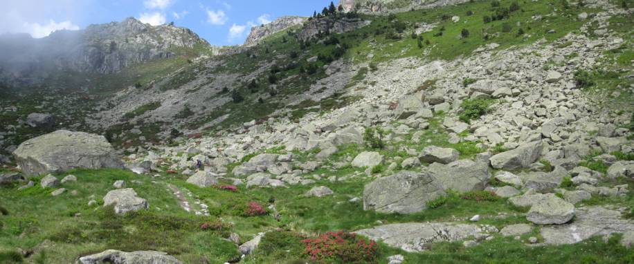
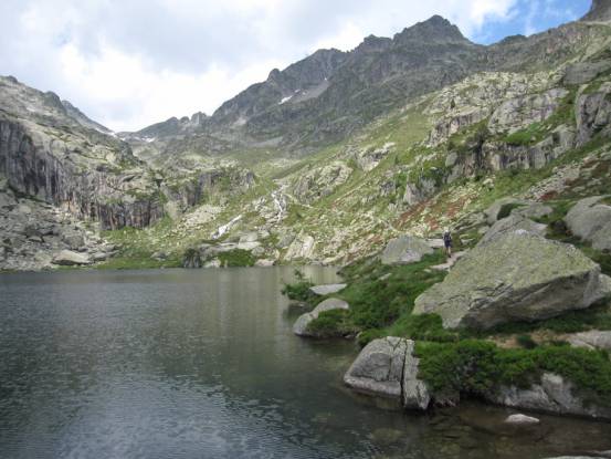
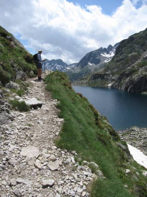
The path continues higher into more rugged country,
And reaches the highest part of the route at Lac du Pourtet.
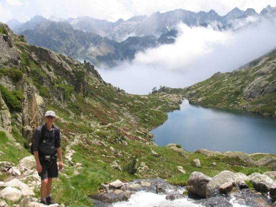
On the undulating decent past Lac Nere.
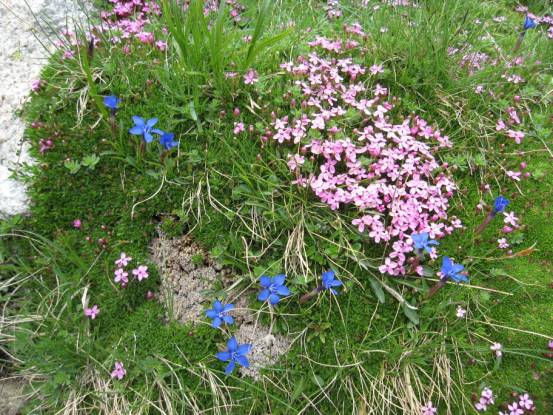
The route descends to more flower covered meadows.
Lac Nere.
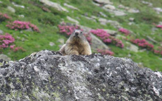
You occasionally see one of the locals…
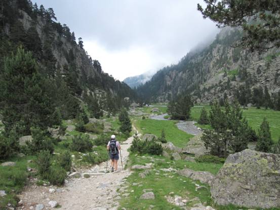
The return stretch of the walk follows an ancient trail used by
traders to pass between France and Spain. This section is very gentle walking
through beautiful meadows, and it passes Refuge Wallon
where, if you have time to spare, you can get refreshments. But remember it’s still 2-hours to the car park!
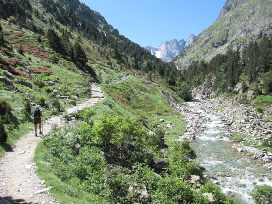
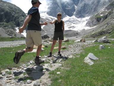
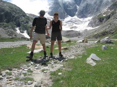
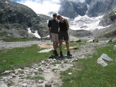
For my birthday walk we used the chairlift to bypass the stiff
climb from Pont d’Espagne, past the waterfalls and on
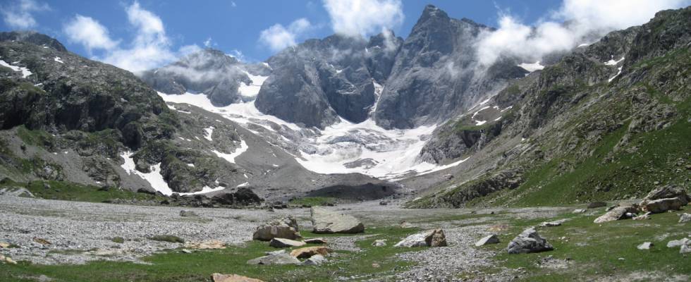
to Vallee de Gaube. Our route took us past Lac de Gaube and on towards the high mountains forming the French
/ Spain border.
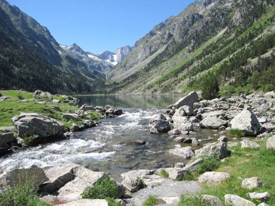
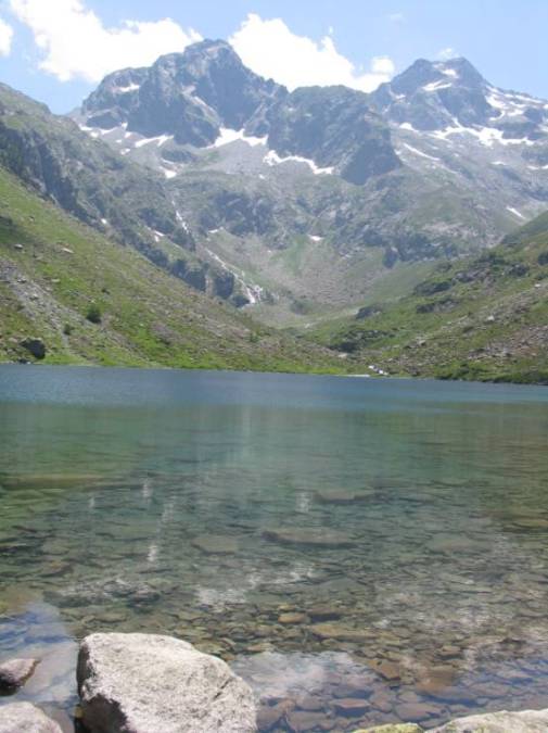
Lac de Gaube.
Further up the valley towards the border ridge.
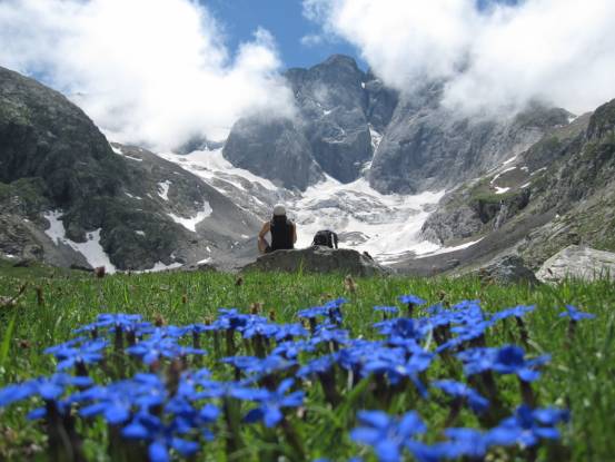
Our furthest point up the valley gave us grand views of the border
ridge.
|
|
|
|
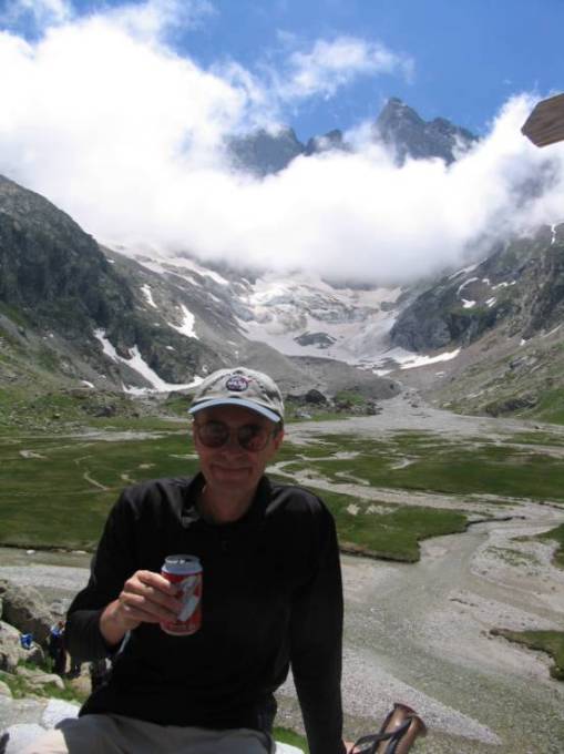
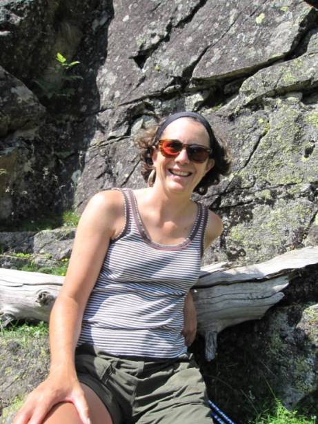
A birthday would not be complete without a beer!
We walked every day of the holiday – this part of the Pyrenees is
just paradise for the hiker – and on our last day we discovered yet another gem
of a walk:
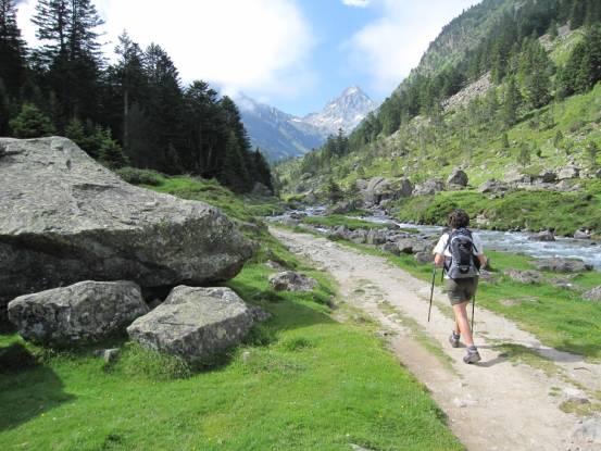
Walking into Vallee de Lutour.
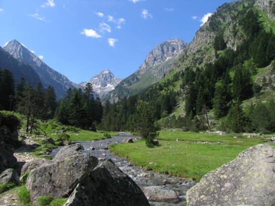
Walking this valley is very easy, and the views are marvellous at
every turn.
A classic glaciated valley.

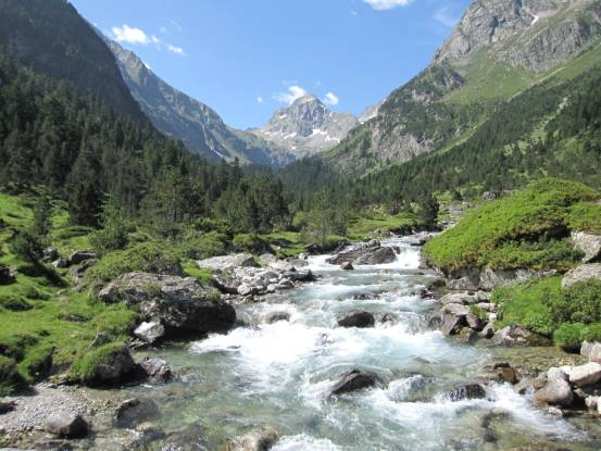
As with most of the Pyrenees, mountains and water combine
beautifully.
Clear, pure water…
|
|
|
It was a great holiday!